The Trail of the Coeur d'Alenes is a 73-mile paved rail trail between Plummer and Mullan in northern Idaho. You do not need to ride the whole length: 20 developed trailheads make it possible to choose a short walk, a lakeshore bike ride or a longer Silver Valley outing. Start by choosing the landscape you want, then select the access point and turnaround.
Despite the name, this is not a downtown Coeur d’Alene waterfront loop. The route crosses the southern lake area and follows the Coeur d’Alene River and Silver Valley. For a footpath nearer the city, compare Mineral Ridge Trail and the hikes near Coeur d’Alene; the Idaho hiking hub puts them in statewide context.
Which section should you choose?
Chatcolet and Heyburn for the bridge
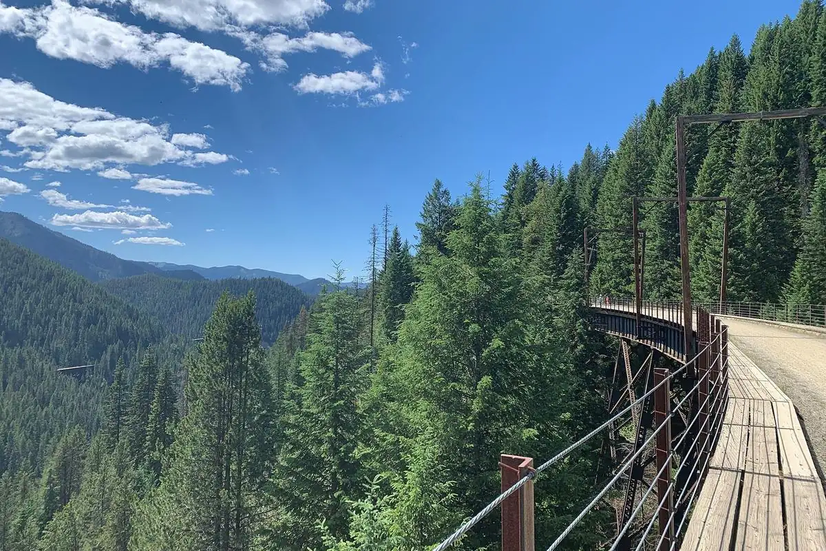
The southwest part of the route delivers the landmark Chatcolet Bridge, a 3,100-foot bridge-and-trestle crossing in the lake area. Choose this section if the crossing itself is the main reason for visiting. Use the official map to distinguish Chatcolet access from Plummer and other Heyburn State Park facilities rather than navigating to the park’s general address and assuming the bridge is beside the visitor center.
The bridge has a raised profile rather than an entirely level deck. Slow down around other users, leave room for people stopping to look at the water and avoid bunching a group across the full width. Wind and weather exposure can feel different from the sheltered approaches.
Harrison and the lake country for a flexible outing
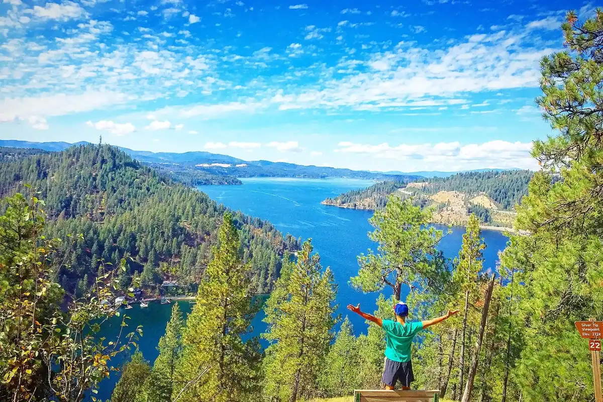
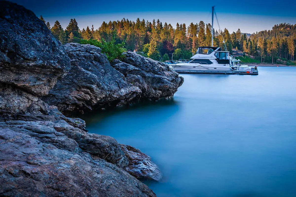
Harrison is a useful starting point for a lake-focused visit. The trail’s western portion follows the shoreline, while the middle section reaches quieter river, lake and marsh scenery. An out-and-back lets you set your own distance without needing a shuttle. Pick a time-based turnaround before leaving, especially with children or a group riding at different speeds.
Do not assume that a route through wetlands has drinking-water stops at regular intervals. Carry your own supply and consult the current facility information. A short stretch with time for wildlife watching may be more satisfying than a long ride spent checking the clock.
The river corridor for birds and open views
The state describes the middle section as following the Coeur d’Alene River past lakes and marshes. It is a good section to investigate when you care more about water and wildlife than town stops. Stop only where there is room to keep the traveled surface clear, and bring binoculars if birding is part of the plan.
Wildlife can enter the trail unexpectedly. Give animals space, do not approach for photographs and be willing to wait or turn back. Headphones that block surrounding sounds make it harder to hear both bicycles and activity beside the path.
Silver Valley for mining-town history
The eastern section runs through the historic Silver Valley toward Mullan. This is the better starting point for travelers who want to connect a trail outing with towns such as Wallace and Kellogg. The former railway gives much of the route a gentle grade, but that does not make the entire 73 miles flat. A long one-way ride still requires a transport plan.
For a different rail-trail experience in the same broad region, compare the Route of the Hiawatha. That outing emphasizes gravel, dark tunnels, high trestles and managed shuttle logistics. It is not a continuous paved extension you can casually add to this trail.
Distance, surface and access
The official end-to-end distance is 73 miles one way. Returning over the full route would make it 146 miles; most visitors should instead plan a shorter out-and-back or arrange transport. The actual mileage depends entirely on your trailheads and turnaround. There is no single standard “round-trip hike” for this linear park.
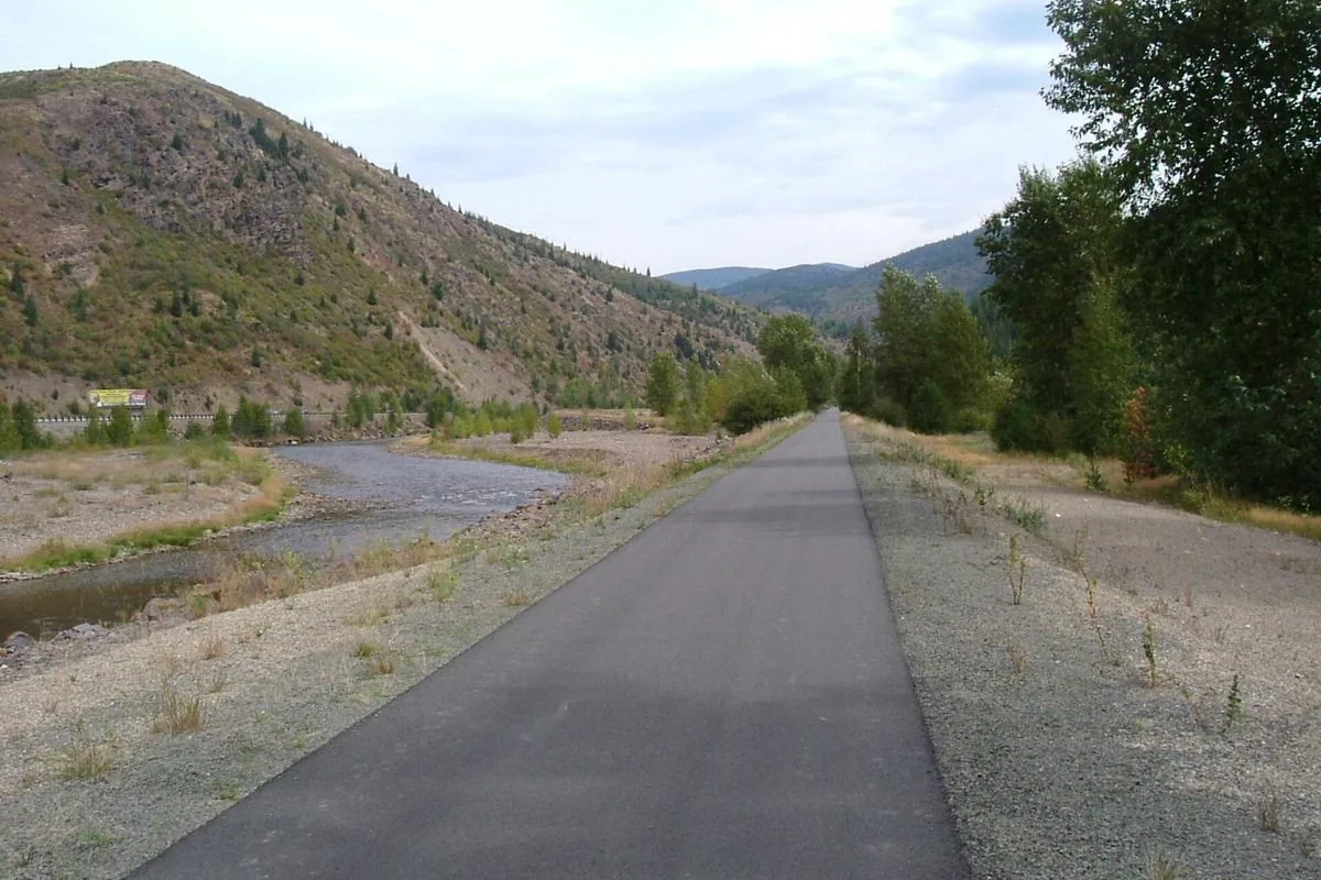
Idaho Parks and Recreation lists smooth asphalt suitable for cycling, walking, in-line skating and wheelchair use, with 20 developed trailheads and 20 scenic waysides. That is useful planning information, not a guarantee that every approach, road crossing or temporary surface condition suits every mobility device. Check your chosen access point and any closure alerts with the park.
The state allows Class 1 and Class 2 e-bikes. If your equipment falls into a different category, ask the park rather than assuming every electrically assisted device is permitted. Whatever the bicycle, slow down near walkers, announce passes and allow extra space at bridges and crossings.
Understand the mine-country safety guidance
This corridor was a working railway through a mining district. The park explains that mine waste and spilled ore contaminated parts of the original rail bed. The paved trail is part of a managed corridor, so do not treat the shoulders as an invitation to dig, collect material or improvise a picnic area.
Read the trailhead notices, stay on designated surfaces and use established waysides for breaks. Wash hands before eating and take particular care with children who may play in dirt beside the route. Bring drinking water instead of relying on nearby streams or lakes. Consult the official park page for current safety guidance and alerts.
Before you leave
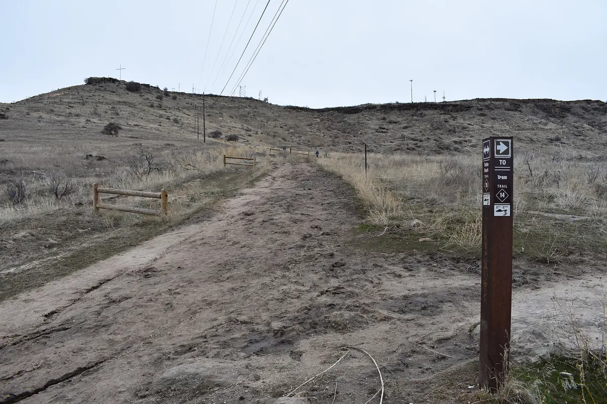
Download the official route map, choose the parking lot by name and check any applicable parking or state-park entry requirements for that access point. Confirm pet rules directly before bringing a dog. Check weather, daylight and trail conditions rather than assuming that a paved route is snow-free or clear of storm debris.
Pack a tire-repair plan for a bike ride and an honest turnaround for a walk. A linear trail makes it easy to keep going because the return looks simple on a map. Leaving time for the return, road crossings and stops makes a short section a complete day rather than an unfinished attempt at the full route.
Questions before you go
How long is the Trail of the Coeur d'Alenes?
The state lists 73 miles one way between Plummer and Mullan. Most visitors select a shorter section using the developed trailheads.
Is this trail the same as the Route of the Hiawatha?
No. The Trail of the Coeur d’Alenes is a paved route across the panhandle. The Hiawatha is a separate, seasonal gravel rail-trail outing near the Montana border.
Can you use an e-bike on the trail?
Idaho Parks and Recreation allows Class 1 and Class 2 e-bikes. Confirm other equipment categories with the park.