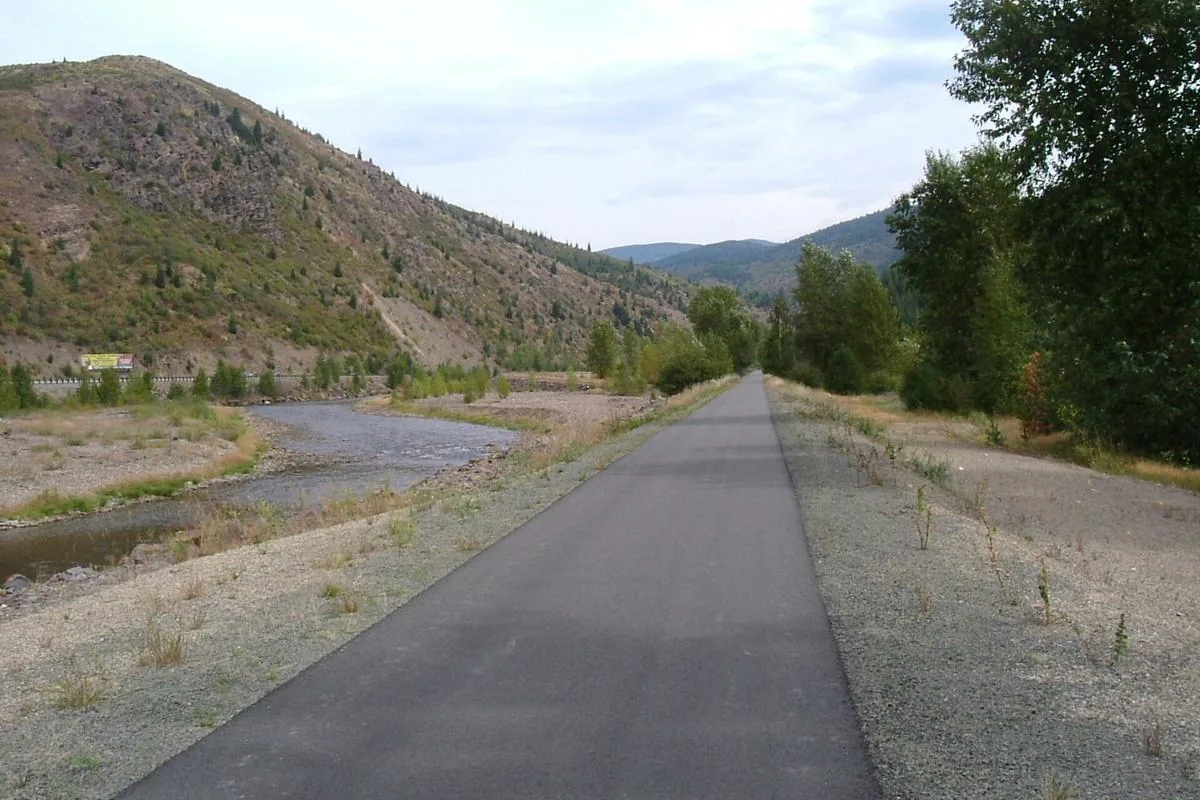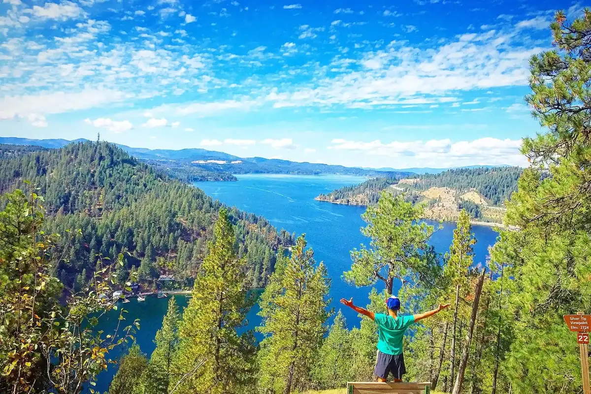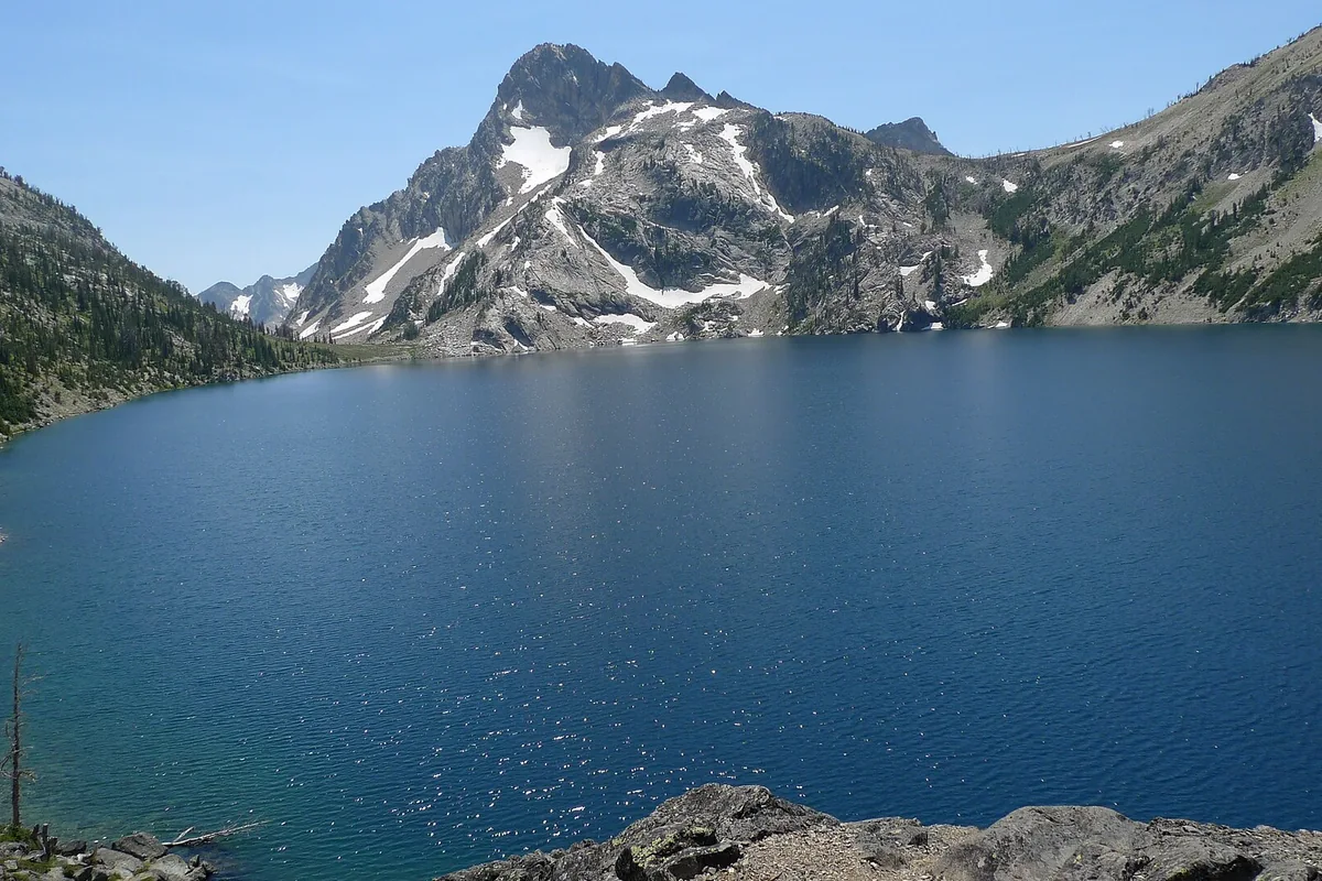
The Route of the Hiawatha is a roughly 15-mile rail trail through tunnels and across high trestles near the Idaho-Montana border. Most visitors ride a bicycle downhill from East Portal to Pearson and arrange a shuttle return. The main starting point is in Montana, even though much of the outing is in Idaho.
This is not a paved lakeside path or a conventional mountain hike. The gravel surface, cold tunnels and transportation arrangements are central to the experience. Use the Idaho hiking and trail hub for other routes, and compare the paved Trail of the Coeur d’Alenes if you want an easier-to-shorten out-and-back.
How long is the Route of the Hiawatha?
The operator markets the route as 15 miles; its FAQ gives 14.4 miles from East Portal to Pearson. Those describe the same standard downhill outing at different levels of rounding. An out-and-back over that same segment would be approximately 28.8 miles, with the return climbing the railway grade rather than continuing downhill.
Do not count the shuttle as a completely effort-free finish. Confirm the current drop-off point and whether you must ride back through the long St. Paul Pass Tunnel to reach your parked vehicle. That detail changes the equipment and energy you need at the end of the day. No single round-trip distance applies to every shuttle or access arrangement.
Getting to the correct trailhead
East Portal is also called the Taft Trailhead. The operator directs visitors off I-90 at Taft, Montana, Exit 5, then up Route 506 toward the signed parking area. This is different from Lookout Pass Ski Area, which is an important staging point for trail services but is not the top trailhead.
Organize tickets, rental pickup and any reserved delivery around the actual meeting location. The operator says East Portal rental delivery requires a prior reservation and a delivery fee. Do not assume that showing up at a parking lot gives you access to a waiting bicycle. The Lookout Pass guide explains the neighboring ski-area setting, but winter access and summer trail operations are separate matters.
Tunnels and trestles: what to expect
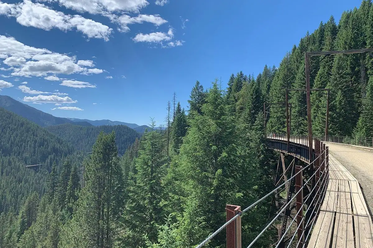
The route is advertised with 10 tunnels and seven trestles; the operator’s detailed trail page notes that nine tunnels are ridden through. The centerpiece is the 1.661-mile St. Paul Pass Tunnel, also called the Taft Tunnel. It crosses beneath the state-line mountains and feels very different from riding outdoors in sunshine.
Lights are mandatory. The operator recommends a focused light of at least 300 to 400 lumens. Test the beam and mounting before leaving the parking area, and carry backup power. Remove sunglasses before entering, slow down while your eyes adjust and leave space between riders. A weak light that helps someone notice you is not necessarily strong enough to show the surface ahead.
Bring a warm layer even on a hot day. Tunnel surfaces can be wet, and the shift from bright sun to darkness makes sudden braking or close following unwise. Walking a bicycle is an option when needed, but do not stop in the middle of a tunnel. At trestles, keep moving safely and pull clear at an appropriate stopping area rather than blocking the route for a photograph.
Tickets, shuttles and the seasonal calendar
This is a managed, ticketed trail experience with separate services to consider. Check the official Route of the Hiawatha site for current trail passes, shuttle arrangements, rentals, operating dates and restrictions. Prices and dates are deliberately not quoted here because they change between operating seasons.
Reserve the parts of the outing you need together. A rental reservation does not necessarily solve every shuttle or trail-pass requirement. Make sure your bicycle type, child carrier or other equipment is accepted on both the trail and the shuttle before paying. Allow time for the access road, equipment fitting, stops and the return queue rather than scheduling another tightly timed attraction immediately afterward.
Can you hike it or bring a dog?
The operator describes the route as a bike-or-hike trail, but most standard visitor logistics are built around cycling. Walkers should ask about suitable segments and shuttle arrangements rather than assuming they can comfortably complete the full downhill route in the cycling timetable. Expect shared use and keep alert for bicycles approaching from behind.
Pets are not allowed. Trained service animals have a specific exception on the route, but the operator says they are not allowed in the long St. Paul Pass Tunnel under Forest Service rules. Travelers who need a service animal should discuss the alternative access arrangement directly with the operator before arrival. This is not the place to improvise a bypass from an informal map.
Make it a northern Idaho trail trip
Keep the Hiawatha as a substantial outing rather than a quick roadside stop. Wallace and Mullan are useful Idaho-side planning bases; check your actual rental pickup and trailhead drive before choosing lodging. A second day on the Trail of the Coeur d’Alenes offers a contrasting paved route without repeating the tunnel-heavy experience.
For a walking-focused alternative closer to the lake, investigate Mineral Ridge Trail or the hikes near Coeur d’Alene guide. Their footing and elevation profiles differ from a railway grade. The right choice depends on whether your group wants an engineered rail corridor, a conventional footpath or a shorter day outside.
Questions before you go
Does the Route of the Hiawatha start in Idaho?
The standard East Portal starting point is in Montana, reached from I-90 Exit 5 at Taft. The route continues into Idaho.
Are lights required on the Hiawatha?
Yes. The operator requires lights and recommends a focused beam of at least 300 to 400 lumens for the dark tunnels.
Is the Hiawatha a 15-mile round trip?
No. The advertised 15 miles describes the standard one-way route. The FAQ specifies 14.4 miles from East Portal to Pearson.