Table Rock Boise is a steep, exposed hike from the Old Idaho Penitentiary area to a rocky overlook above the city. The direct Trail #15 out-and-back is roughly 3.2–3.4 miles, with 800 feet of elevation gain in Ridge to Rivers’ accessibility guidance. Dry conditions and enough daylight for the descent matter more than checking off a summit photo.
Use this route as a short but sustained climb, not a flat city stroll. Compare it with other hikes near Boise and our broader Idaho hiking guide if heat, mud or mobility needs make another trail a better fit.
Table Rock trail facts
| Detail | What to plan for |
|---|---|
| Route | Table Rock Trail #15 from the Old Penitentiary trailhead |
| Round-trip distance | About 3.2–3.4 miles; see measurement note below |
| Elevation gain | 800 feet in the official accessibility description |
| Season | Dry conditions; avoid wet winter mud |
| Dogs | Allowed within Ridge to Rivers rules; obey posted leash signs |
| Trailhead | 2421 Old Penitentiary Road, Boise |
| Permit or fee | Check current trailhead notices; a fee is not quoted here |
| Access hours | Sunrise to sunset; the mesa closes at sunset |
Why a distance range? The Ridge to Rivers accessibility page measures Trail #15 at 1.59 miles one way, while its 2026 system map labels it 1.7 miles. Doubling those figures gives approximately 3.2–3.4 miles. Side paths, your parking space and wandering around the top can add distance. Neither number should be treated as a guaranteed reading on a watch.
Where to park and start
The official Table Rock Area page directs most visitors to the Old Idaho Penitentiary parking lot and trailhead. Look for the trail kiosk and route signs rather than following a navigation pin toward the summit. Ridge to Rivers currently says the top is closed to vehicles until further notice; pedestrian and bicycle access remains subject to posted hours and conditions.
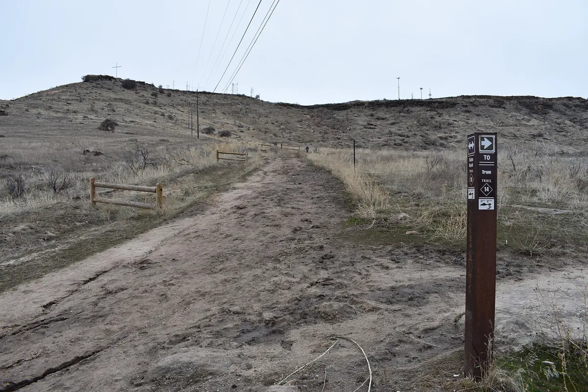
The same official page lists a separate trailhead near Warm Springs Golf Course for the Tram Trail and Mesa Reserve area. That is not the direct Old Penitentiary start described here. Decide which trail you intend to walk before choosing a parking lot, and do not assume every route in the reserve has the same distance or grade.
What the climb is like
Trail #15 follows an old road for much of its length, so it is comparatively wide. Width does not make it gentle: Ridge to Rivers calls the climb very aggressive and identifies challenging rock features in the first quarter mile. Expect effort early rather than assuming the hardest section is only at the top.
Take breaks where you can stand clear of other trail users. Mountain bikes use this area too, and the broad track can narrow where rocks or erosion constrain the line. Keep children close near drops and choose a stable stopping place before turning around to look at the city. The descent still demands attention, especially on loose or uneven footing.
If your goal is scenery rather than a sustained climb, consider the Boise River Greenbelt instead. For a statewide perspective on effort and terrain, compare the route with our best hikes in Idaho planning guide.
Best conditions: dry ground and manageable heat
Ridge to Rivers warns against using the Table Rock area during wet winter months because the clay-rich soil becomes muddy. Treat mud as a reason to choose another outing, not an invitation to walk along the grass beside the trail. Going around soft sections widens the route and damages the vegetation that holds the hillside together.
The open slope also calls for sun protection and water. Carry what you need from the start rather than planning on finding a refill during the hike. A cooler morning can be a sensible choice when the forecast is hot, but the forecast and trail condition should determine your plan, not the month alone. Stop early if someone in the group is struggling with the exposure or climb.
Dogs, bikes and shared-trail etiquette
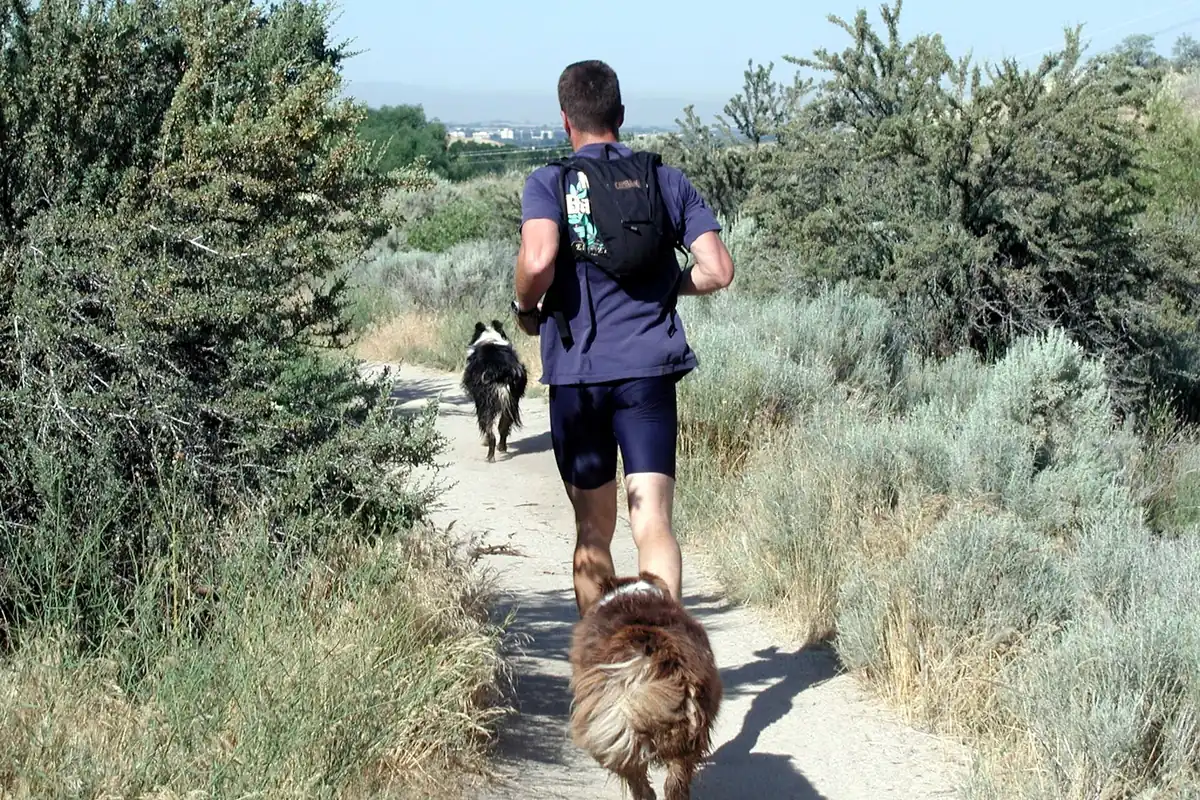
Ridge to Rivers permits dogs on its trails subject to the relevant management rules. Carry a leash, pick up waste and follow posted signs at the trailhead and along your route. The system distinguishes on-leash areas from controlled off-leash trails; do not read a general off-leash policy as permission to ignore a local sign.
If your dog cannot stay close and respond reliably, keep it leashed. Give other hikers and cyclists space before passing, and bring water for the animal as well as yourself. The same exposed terrain that feels warm to a hiker can make this a poor midday choice for a dog.
Do not plan an after-dark summit stay
The official access rules are sunrise to sunset, and the mesa closes to all access at sunset. Allow enough time to enjoy the view and descend before closure rather than arriving at the top at the last possible moment. A headlamp is useful emergency equipment, not permission to stay after hours.
Build the rest of the day around things to do in Boise instead of extending the hike beyond legal access. Before heading out, check the official Table Rock Area page for changes. If the ground is wet or access is restricted, the hill will still be there for a better day.
Questions before you go
How long is the Table Rock hike in Boise?
For an out-and-back on Trail #15, plan on roughly 3.2–3.4 miles. Ridge to Rivers lists 1.59 miles one way in its accessibility guide and 1.7 miles on the 2026 trail map.
Can you drive to the top of Table Rock?
The Ridge to Rivers access page says the top is closed to vehicle access until further notice. Use designated trailheads and recheck official notices.
Can you hike Table Rock after sunset?
No. The official access guidance says trails and trailheads are open sunrise to sunset and the mesa closes to all access at sunset.