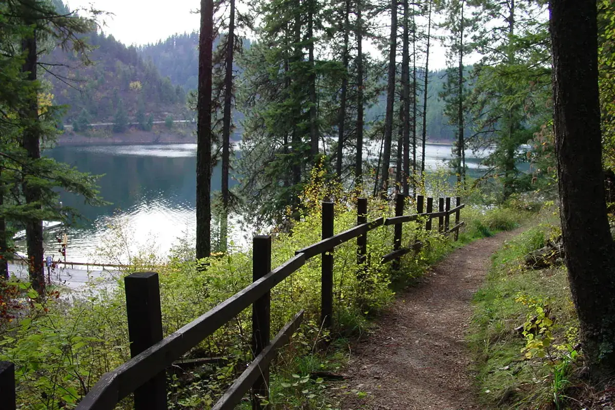
Mineral Ridge Trail is a 3.3-mile forest loop above Lake Coeur d'Alene, with lake viewpoints and an interpretive trail guide covering the surrounding forest. The Bureau of Land Management manages the scenic area and lists it as a non-fee site. It is a practical half-day hiking choice near Coeur d'Alene when you want an actual climb and a defined route rather than a flat waterfront walk.
For other routes, start with our Idaho hiking hub or the more focused hikes near Coeur d'Alene guide. Mineral Ridge is especially useful for visitors who want to see the lake from above without committing to a distant backcountry trailhead.
Where the trail starts
The official BLM visitor page places Mineral Ridge about 11 miles east of downtown Coeur d'Alene. Its directions use Interstate 90 east to Wolf Lodge Bay, exit 22, followed by Idaho Highway 97 south for about three miles. Use the signed scenic-area entrance, not a general pin somewhere along the lakeshore.
BLM verifies trailhead coordinates of 47.61472222, -116.6788889. Those coordinates are the map location used here. The scenic area's paved parking serves both the trail and picnic facilities, so it is not a dedicated parking lot for one hiking party. If the lot is full, do not treat a narrow highway shoulder as an automatic alternative.
Distance, effort and route planning
BLM gives the interpretive route length as 3.3 miles, and the National Recreation Trails directory identifies it as a loop. Distance alone understates the effort: the route climbs into the forest above the lake before returning to the starting area. Wear footwear with traction and allow extra time for viewpoints, interpretive stops and the downhill section.
This guide does not publish a cumulative elevation-gain number because the official sources reviewed do not supply a consistent trail-gain total. BLM's trail booklet places the Silver Tip viewpoint about 600 feet above the lake, which describes the viewpoint's position, not the sum of every climb on the loop. Those two measurements should not be treated as interchangeable.
Download the BLM trail map before arrival, then follow posted route instructions on site. A loop is easiest to navigate when you identify the return path before beginning the ascent. Do not rely on the lake being visible through the trees as your navigation system.
Forest interpretation is part of the hike
Mineral Ridge was the first BLM recreation site developed in Idaho, with construction beginning in 1963. The trail was designated a National Recreation Trail in 1982. That history explains why this outing has a more deliberate educational structure than a simple viewpoint path.
The official trail guide corresponds to 22 marked stations. It describes plants, animals and the connections among them, with supplemental checklists and information about local place names and mining history. Save it before the hike if you enjoy understanding what you are walking through rather than using every stop only for a photograph.
For families, choose a few stations to discuss instead of turning the loop into a race to finish all 22. Children who tire on the climb may respond better to a short observation stop than another promised view around the next bend. Bring snacks and drinking water so the pace can stay comfortable.
Lake views and the Silver Tip overlook
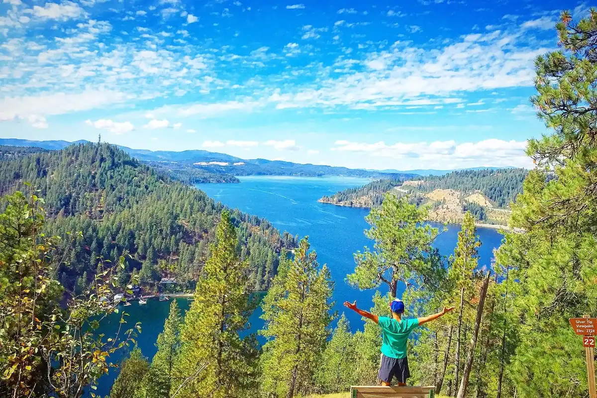
The reward is a higher perspective on Lake Coeur d'Alene's wooded shoreline and bays. BLM's booklet describes the Silver Tip viewpoint as overlooking both Beauty Bay and Wolf Lodge Bay. Take time to look at the shape of the shoreline as well as the open water; this is one of the useful differences between hiking above the lake and staying at the waterfront.
Keep children and pets close at viewpoints and avoid moving onto an exposed edge for a photograph. The downhill portion still deserves attention, especially if roots, leaves or loose material make footing less secure. Finishing the view is not the same as finishing the hike.
Facilities, dogs and accessibility
BLM lists picnic shelters, pit toilets, trash receptacles and drinking water at the scenic area. Carry your own water in case a fixture is unavailable or seasonal service has changed. Pack out anything that cannot be placed properly in a receptacle, and check current notices before counting on a facility.
The agency says trailhead facilities are accessible except for the upper picnic shelter. That statement does not make the full climbing trail wheelchair accessible. Visitors needing a firm, level route should distinguish the developed trailhead and picnic area from the forest loop before choosing this outing.
The National Recreation Trails directory lists dogs on leash among allowed uses. Keep the leash short enough to leave passing room, bring waste bags and carry used bags out. A pet should not be allowed to approach wildlife or other hikers just because the forest feels spacious.
Winter eagles are a separate planning question
BLM identifies November through February as the period when migrating bald eagles visit the area to feed on spawning kokanee. This is a seasonal wildlife opportunity, not a guaranteed sighting. Eagle viewing around the bay and completing the uphill Mineral Ridge loop are different activities, particularly when snow or ice changes trail footing.
Check the current BLM eagle-viewing information and road conditions before making a winter trip. Do not stop abruptly on Highway 97 to watch birds or assume that summer hiking footwear is adequate for shaded winter tread. A shorter visit from an appropriate viewing area can be the better choice when the loop is icy.
What to pair with Mineral Ridge
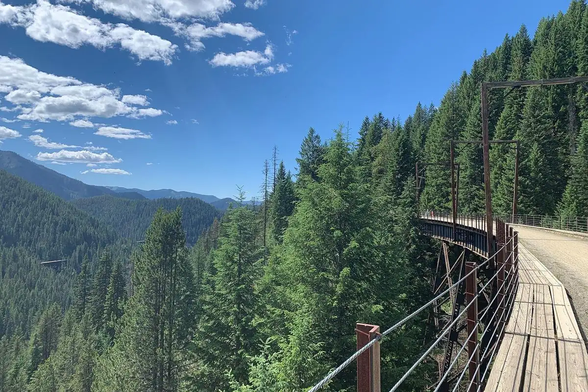
Base the day around Coeur d'Alene and leave time for a meal after the walk. Our Lake Coeur d'Alene guide covers the wider destination. If your group prefers a different kind of trail day, compare the Trail of the Coeur d'Alenes or Route of the Hiawatha, each with its own access and planning requirements.
For Mineral Ridge itself, a satisfying plan is uncomplicated: save the official guide and map, bring water, give the climb time and stop at the viewpoints without rushing the descent. The forest interpretation and the view work best together.
Questions before you go
How long is Mineral Ridge Trail?
BLM lists the interpretive route as 3.3 miles. It is a forest loop with an uphill section, not a flat lakeshore walk.
Is there a fee to hike Mineral Ridge?
BLM lists Mineral Ridge Scenic Area as a non-fee site. Check its current notices before visiting.
Can you see bald eagles at Mineral Ridge?
BLM identifies November through February as the seasonal eagle-viewing period around the area. Sightings are not guaranteed, and winter loop conditions require a separate safety assessment.