The best hikes near Sun Valley depend on whether you want a short walk from the resort area, a flexible foothill loop or a drive to an alpine lake. White Cloud trails work for a local outing, Adams Gulch offers several connected routes, Proctor Mountain adds a sustained climb, and Baker Lake makes the lake itself the destination.
Use Ketchum as the geographic starting point for this list. These are Wood River Valley choices, not a list of Stanley-area trails presented as if they were across the street. For the bigger trip picture, see our Sun Valley guide and statewide Idaho hiking guide.
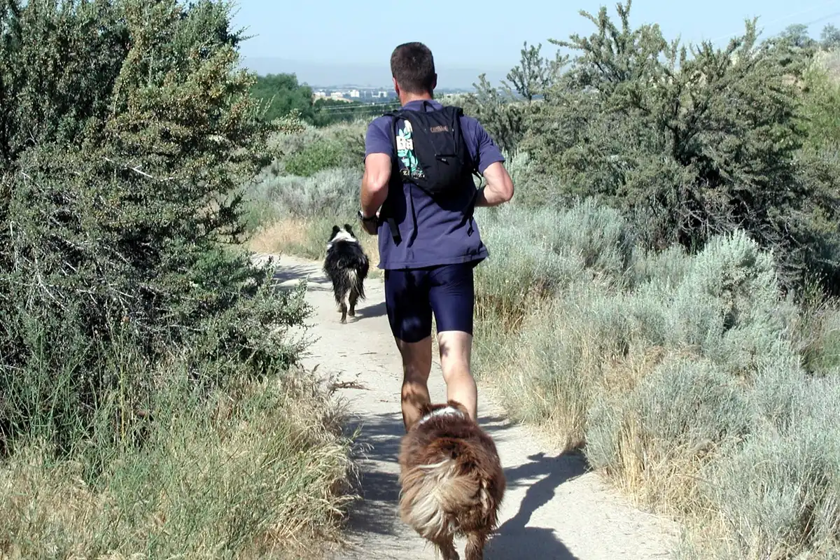
White Cloud trails for an easy-to-adjust outing
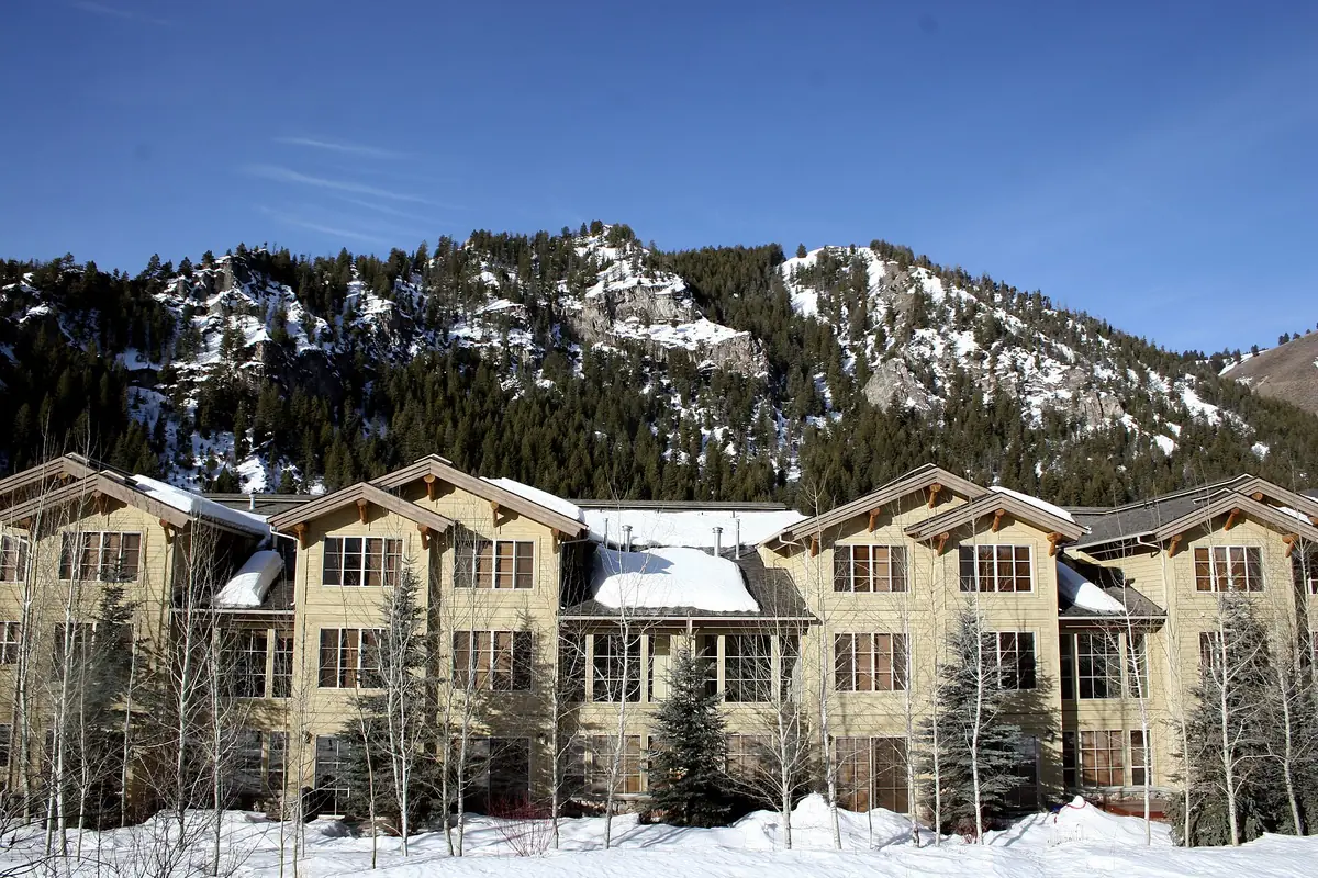
The White Cloud network lies across from the Sun Valley Lodge and combines dirt paths with access to the paved Trail Creek recreation path. Visit Sun Valley describes a four-mile combination using that path and the dirt trails, as well as shorter out-and-back options. Do not confuse the combined outing with every individual loop shown on a trail sign.
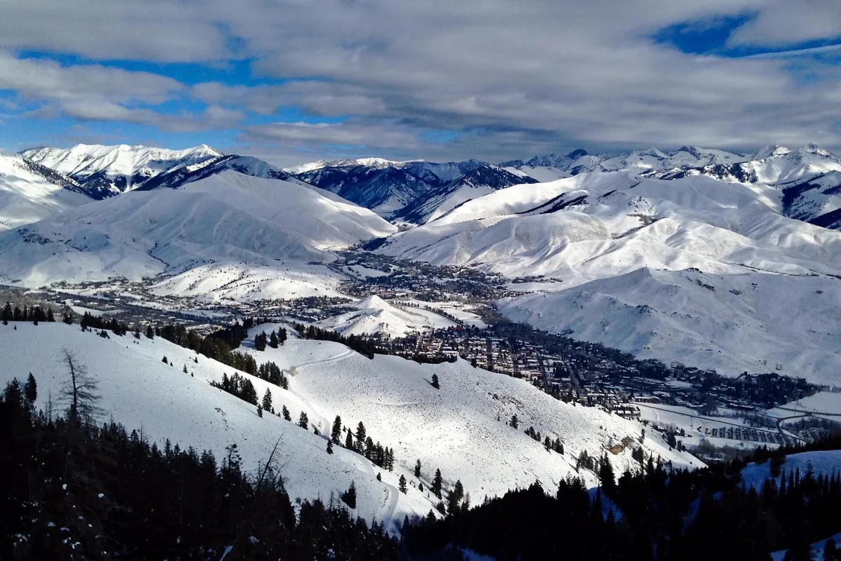
This is a useful choice when members of the group have different energy levels or when you want a walk without making a remote trailhead the focus of the day. Pick a turnaround point before starting, and carry a map if joining several paths. Views take in Bald Mountain and the resort area, with benches offering natural places to pause.
These White Cloud trails are near the resort; they are not the distant White Clouds Wilderness. That similar name can cause a surprisingly large itinerary error. Stay on signed public routes around the golf-course landscape and respect any temporary closure or maintenance work.
Adams Gulch for a flexible foothill loop
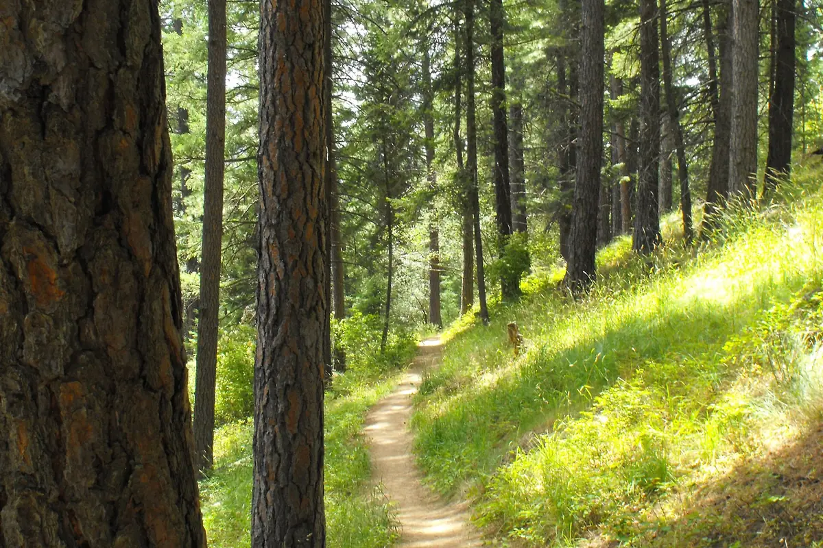
Adams Gulch is a trail network north of Ketchum rather than a single hike. Sunnyside and Lane's are useful names to look for when planning a shorter loop. Published local descriptions use slightly different lengths depending on the connections, so choose the exact route on the map instead of assembling mileage from two different accounts.
Expect other trail users, including mountain bikers. Stay attentive at corners, communicate early and use a durable place when stepping aside. Do not walk onto a bike-only trail simply because it appears to connect two points on your phone. The local trail map identifies use designations as well as routes.
Choose this area for a morning with room to shorten or extend the plan. A simple return by a known connection is more useful than adding an unfamiliar loop after everyone is tired. Sunny exposed slopes also make water and sun protection important even on a hike that looks modest on paper.
Proctor Mountain for a climb close to Sun Valley
Proctor Mountain gives you a more sustained uphill outing near the resort. Visit Sun Valley's hiking guide describes a three-mile route gaining roughly 1,000 feet, while other versions include longer connections. Decide which loop and access point you mean before using that figure to estimate the effort.
The tourism office recommends access via the Hemingway Memorial and explicitly says there is no parking on Fairway Road. Use that guidance rather than older trip reports showing a convenient roadside start. Keep the walk within signed access and do not treat golf-course grounds as a shortcut.
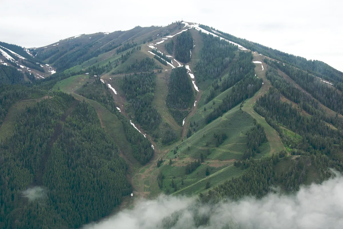
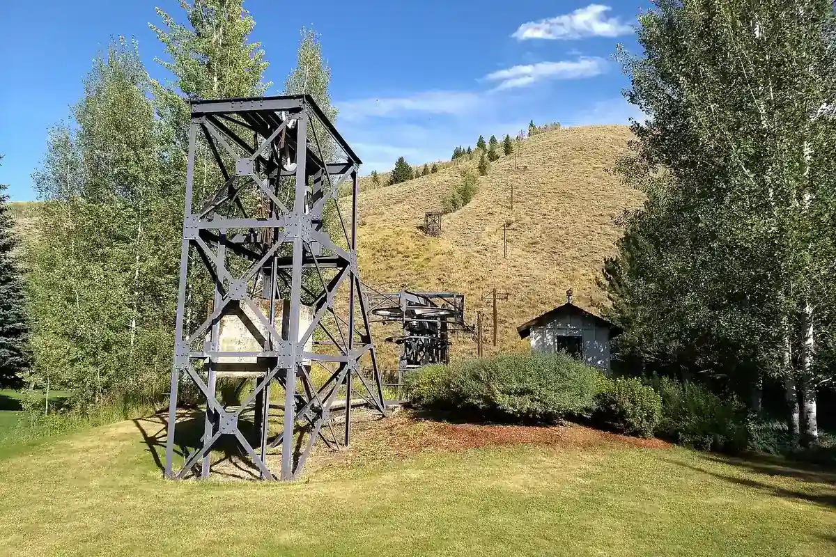
The surrounding Ruud–Proctor area also contains historic ski-lift infrastructure, shown in this guide's photograph. Any detour should be a deliberate map-based addition, not an assumption that the easiest viewpoint path reaches every historic feature. For hikers mainly interested in views, make the ridgeline your goal and leave time for the descent.
Baker Lake for an alpine-lake day
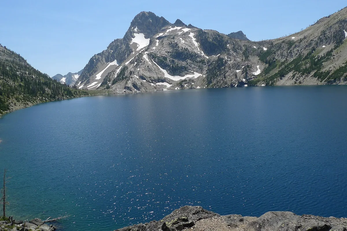
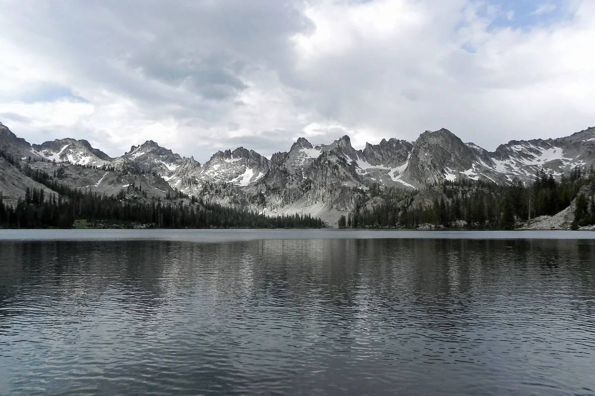
Baker Lake starts at the end of Baker Creek Road, away from the immediate town trail network. The Forest Service says the lake is less than two miles from the trailhead and identifies the access as Baker Lake Trail No. 138. It describes the destination as suitable for a picnic or day hike. Return by the same route unless you have planned a longer connection.
The trailhead listing identifies a vault toilet and no potable water. Carry your supply and check current road and trail information before committing to the drive. Do not infer that a short approach to the lake means the access road is appropriate for every vehicle in every season.
Beyond the lake, the trail connects toward other valleys, and the trailhead also serves the Osberg Ridgeline route. These are separate choices, not required extensions to a lake picnic. Follow the signs for your intended trail and turn around while the group still has energy for the return.
Choose by conditions, not just mileage
In spring, check whether lower trails are dry enough to use without damage; a sunny town does not mean every slope is ready. In summer, verify mountain weather and smoke conditions. In autumn, carry insulation and allow for shorter daylight. Snow or poor footing can change the character of any of these walks.
The local tourism hiking guide is useful for orientation, while the Forest Service Baker Lake listing provides trailhead details. Use current signs and agency alerts to resolve access, closures and pet requirements. This list does not imply that one dog rule applies to all four areas.
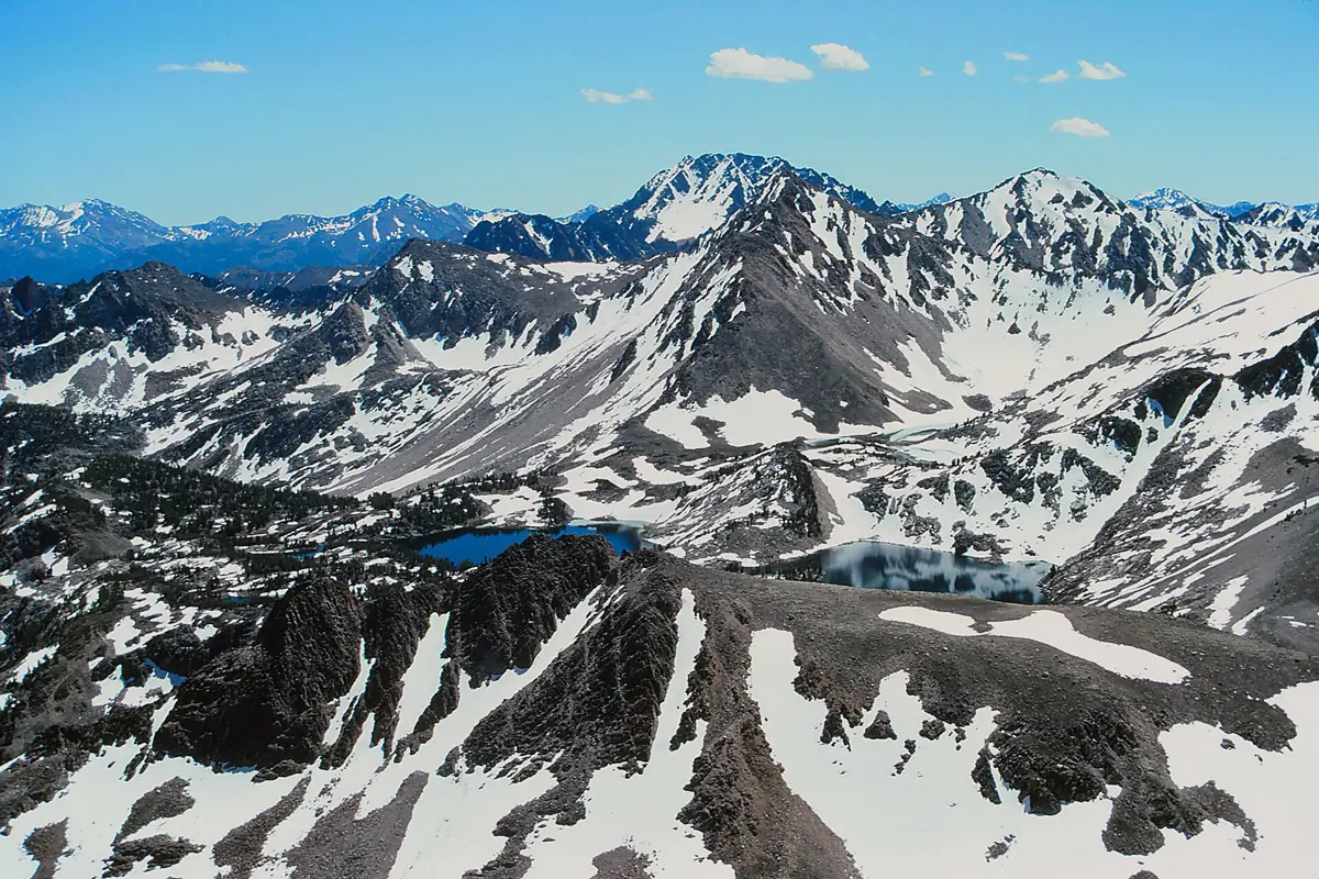
Build a longer stay with our Sun Valley summer guide and weather planning guide. If your priority is a full day among the Stanley-area granite peaks, compare Sawtooth hikes separately and budget for that different starting point rather than treating it as a casual town-loop extension. For other regions and different levels of effort, browse our best hikes in Idaho.
Questions before you go
Are the White Cloud trails in the White Clouds Wilderness?
No. The trails in this guide are near Sun Valley Lodge and the resort golf-course landscape, not the White Clouds Wilderness.
Where should you park for Proctor Mountain?
Visit Sun Valley recommends the Hemingway Memorial access and says parking is not allowed on Fairway Road. Follow current signs.