
The most straightforward hikes near Coeur d'Alene to compare are Tubbs Hill’s downtown shoreline circuit and Mineral Ridge’s interpretive trail above the lake. Tubbs Hill fits a town-and-walk day; Mineral Ridge gives a separate forest outing with lake views. The city’s Canfield Mountain trails offer another option, but choose a specific mapped route rather than treating the whole mountain as one hike.
Official sources describe these places differently, and not every agency publishes a verified elevation gain or seasonal dog policy on its main page. The comparison below includes only confirmed route information and identifies what still needs checking. It does not borrow measurements from crowdsourced trail apps.
Compare the main hiking options
| Walk | Verified route length | Trailhead | Elevation, season, pets and fees |
|---|---|---|---|
| Tubbs Hill perimeter | 2.2-mile circuit returning to the start | West access from McEuen Park; east access at the south end of 10th Street | City allows leashed dogs on hiking trails. Confirm gain, conditions and parking charges for your chosen access. |
| Mineral Ridge interpretive trail | 3.3-mile main trail circuit; check the BLM map for your exact route | BLM scenic-area parking off Highway 97 | BLM lists a non-fee site. Confirm elevation gain, pet requirements and current trail conditions. |
| Canfield Mountain trails | Varies by mapped route; no single round-trip distance used here | Confirm the intended trail access with the city map | City allows leashed dogs on Canfield Mountain trails. Confirm gain, seasonal access and any parking requirements. |
These distances are not estimates for every possible variation. Shortcuts, summit trails and adjoining routes can change an outing. Download the relevant map and choose the same start and finish when comparing a route with your group’s abilities.
Tubbs Hill: a lake walk next to downtown
The City of Coeur d’Alene describes Tubbs Hill as a 165-acre natural area bordered by the lake on three sides. Its 2.2-mile interpretive route follows the perimeter, making it a clear starting choice for visitors who want scenery without first driving to a more remote trailhead.
The city identifies western access at the southwestern corner of McEuen Park and eastern access at the south end of 10th Street. Decide which entrance you will use before parking, especially if your group is meeting separately. A downtown approach is convenient, but it does not turn the natural-surface route into a smooth urban sidewalk.
Wear shoes suitable for uneven ground and keep children close near the shoreline. The city permits dogs on leash on the hiking trails; that permission does not mean every neighboring lawn, beach or park facility follows the same rule. Review the city’s park FAQs if your outing includes more than the trail.
Pair the walk with the Coeur d’Alene town guide and our Lake Coeur d’Alene guide. For a family itinerary, compare things to do in Coeur d’Alene with kids rather than assuming every child will want a full circuit.
Mineral Ridge: interpretation and an uphill outing
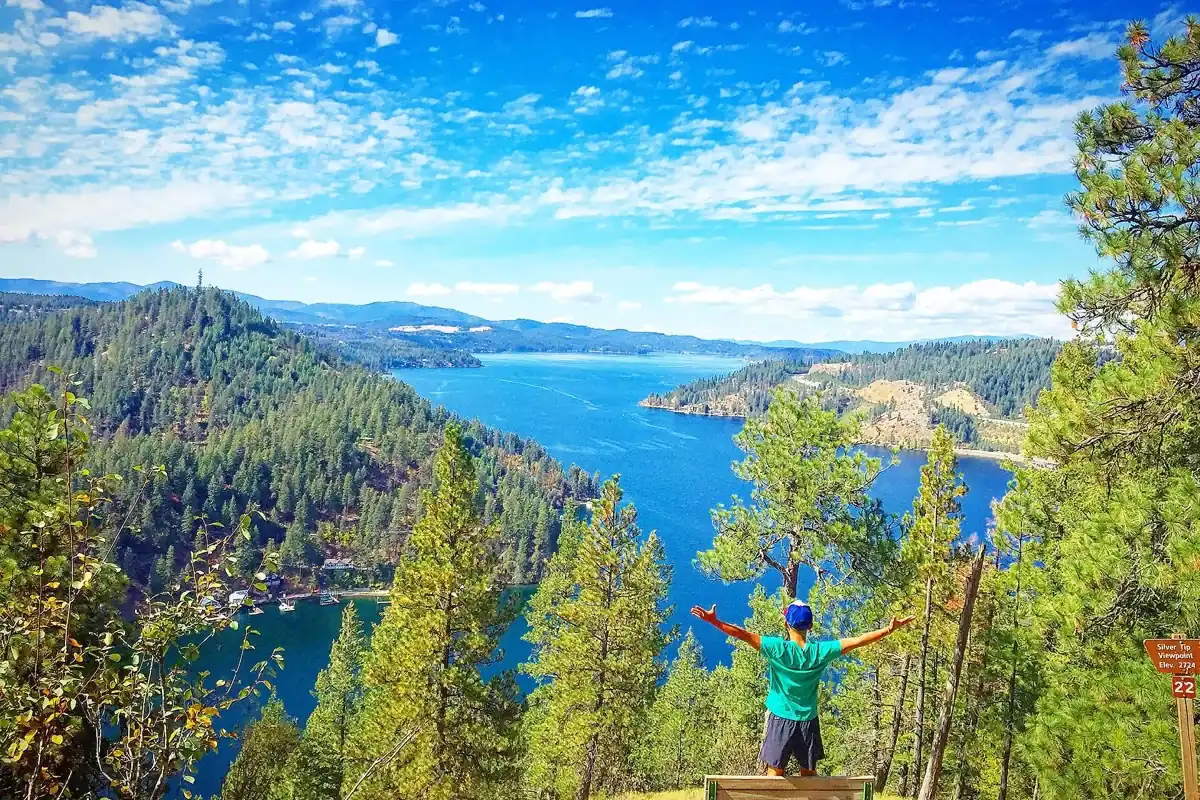
The Bureau of Land Management lists a 3.3-mile interpretive trail at Mineral Ridge, with 22 numbered stations explaining the forest’s plants, animals and relationships. Its lake views are a reason to go, but the interpretive guide also makes this more than a viewpoint march. Download the booklet before arriving if you want to use the numbered stops.
BLM identifies paved parking, picnic facilities and toilets at the scenic area and classifies it as a non-fee site. Do not confuse the accessible trailhead facilities with a guarantee that the entire hillside trail meets your group’s accessibility needs. Check directly with the field office when route surface or grade is a deciding factor.
The official route description approaches from Interstate 90 at Wolf Lodge Bay and follows Highway 97 to the site. Use the recreation-area pin, not the field office’s mailing address. Read our dedicated Mineral Ridge Trail guide for more planning context, then check BLM’s latest notices before driving.
Canfield Mountain: choose the actual route first
The city lists Canfield Mountain Natural Area and recognizes hiking trails on Canfield Mountain in its pet rules. That does not establish one standard summit outing, distance or elevation gain. Use the city’s map and the appropriate land manager’s route information to distinguish the natural area from the larger mountain trail network.
This is the option to research further if you want a different setting after Tubbs Hill and Mineral Ridge. Check permitted uses at your chosen trailhead and expect to share where signs allow other users. Avoid stitching together unverified app segments and presenting the result as an official route.
Conditions matter more than a calendar label
A low-elevation trail can still have ice, wet roots or muddy tread. Check recent weather and agency notices; choose traction, layers and your turnaround accordingly. In warm conditions, bring water and sun protection. If smoke limits visibility or breathing comfort, change the day’s plan rather than treating a viewpoint as mandatory.
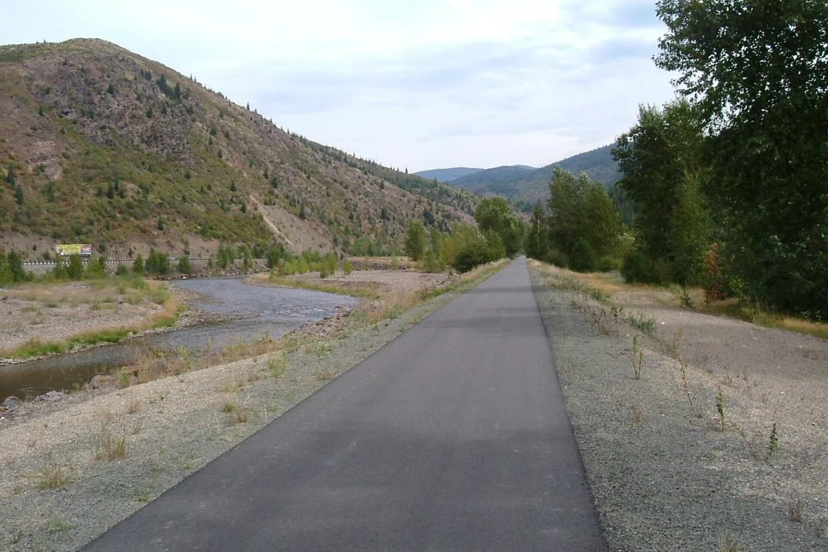
Our Idaho hiking guide provides a wider starting point. For a different style of outing, consider a manageable segment of the Trail of the Coeur d’Alenes. Confirm its access point and travel time separately; it is not a trailhead within downtown Coeur d’Alene.
Questions before you go
How long is the Tubbs Hill perimeter hike?
The City of Coeur d’Alene describes a 2.2-mile interpretive route around the perimeter. Other trail choices can change the total outing.
Is there an entry fee at Mineral Ridge?
BLM currently identifies Mineral Ridge as a non-fee site. Check the official recreation page for updates before traveling.