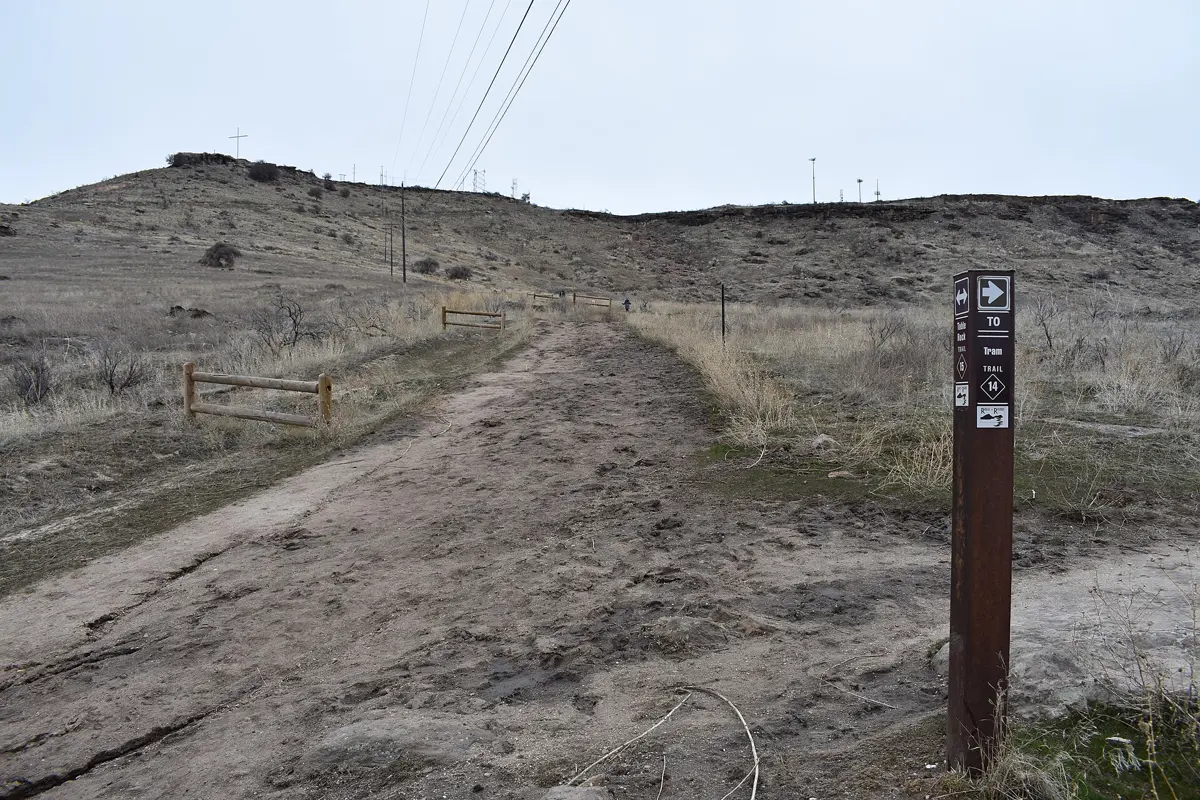
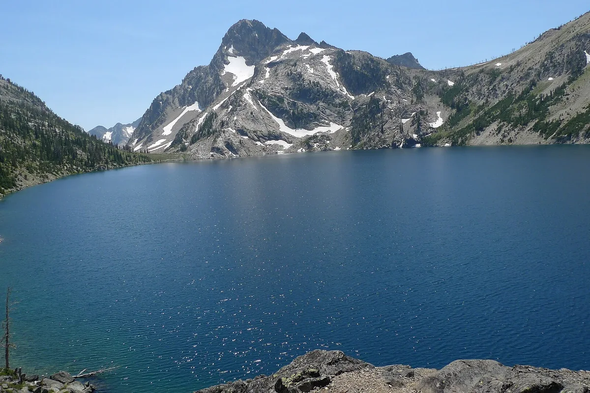
For a first set of Sawtooth hikes, compare Fishhook Creek for a gentler valley walk, Sawtooth Lake for a sustained alpine-lake day, and Alice Lake for a longer outing with creek crossings. They are not interchangeable versions of the same hike. Pick by the effort your whole group can comfortably complete, then check current conditions for that route.
These trails are in the Stanley and Sawtooth Valley area. Base your planning around Stanley and the Sawtooth National Recreation Area, with our Idaho hiking guide for statewide alternatives.
Compare these three Sawtooth hikes
The distances below are round trips, and the gains are the published figures from the Sawtooth Interpretive and Historical Association, the organization that manages the Redfish visitor center. Treat them as planning estimates for the named destinations, not measurements of every possible shore walk or side trip.
| Route | Round trip | Elevation gain | Starting point |
|---|---|---|---|
| Fishhook Creek | 4.2 miles | 300 feet | Redfish Trailhead |
| Sawtooth Lake | 10 miles | 1,800 feet | Iron Creek Trailhead |
| Alice Lake | 11.6 miles | 1,600 feet | Pettit Lake/Tin Cup Trailhead |
A lower elevation-gain figure does not automatically make a hike easier. Alice Lake is longer than Sawtooth Lake in this comparison, and its crossings add a separate decision. Mileage alone also says nothing about lingering snow, smoke or your group's acclimatization.
Fishhook Creek for a gentler introduction
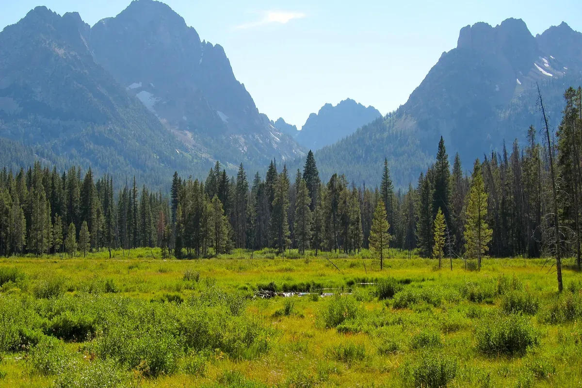
Starting from the Redfish Trailhead, Fishhook Creek leads toward meadow and beaver-pond scenery with views into the surrounding peaks. The interpretive association lists 4.2 miles round trip with 300 feet of gain, making it the least demanding option here by those measures. It is a sensible choice when you want mountain scenery without committing to a high lake basin.
Allow time to enjoy the meadow from durable ground rather than pushing farther just to reach a mileage target. Wet edges and beaver habitat are places to observe, not shortcuts to a photograph. Carry a layer and water even if you intend a short outing.
Read our Fishhook Creek Trail guide for the route and combine it with a separate shoreline stop at Redfish Lake if energy and parking arrangements allow.
Sawtooth Lake for a full alpine day
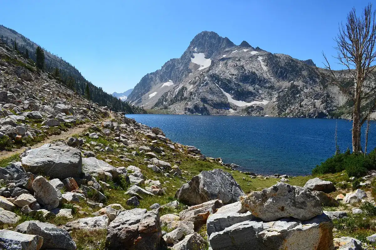
The route from Iron Creek follows the valley before climbing more steeply toward Alpine Lake and then Sawtooth Lake. The association's figures are 10 miles round trip and 1,800 feet of gain. The climb beyond Alpine Lake is part of reaching the main destination, not an optional stroll after the hard work is finished.
Choose this hike when your group is comfortable with a substantial out-and-back and has a reliable weather window. Set a turnaround time before starting, and keep enough food and energy for the descent. Reaching the lake is only halfway through the mileage commitment.
Our Sawtooth Lake trail guide covers this route separately. If snow obscures the trail or conditions exceed your experience, turn around rather than following tracks whose destination and age you cannot judge.
Alice Lake for experienced day hikers or a planned backpack
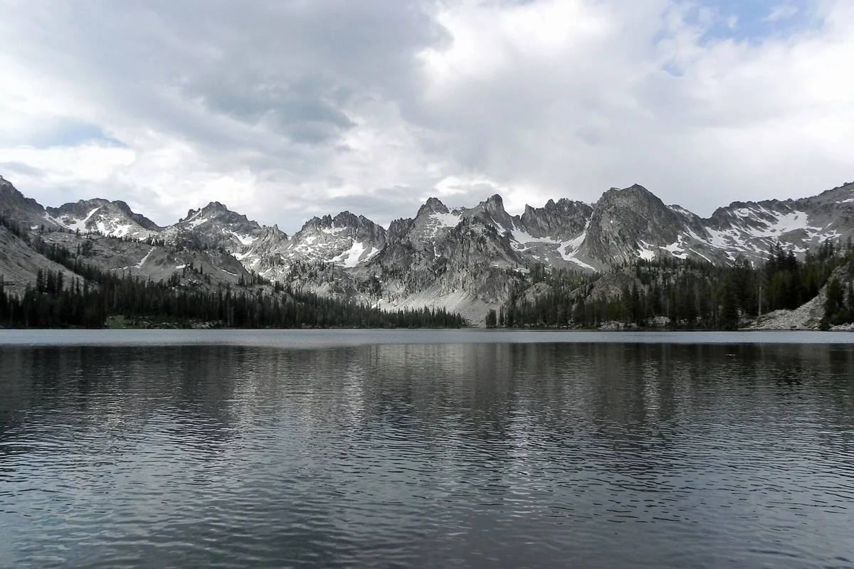
The Alice Lake outing starts at Pettit Lake's Tin Cup trailhead. The interpretive association lists 11.6 miles round trip with 1,600 feet of gain and warns of several creek crossings. Its warning about swift, cold water in spring and early summer deserves more weight than an attractive photograph of the destination.
Do not assume crossings will be easy because another party went through. Depth, current, temperature and the least confident person's ability all matter. Turn around if a crossing is unsafe. A booking elsewhere in the itinerary is not a reason to force it.
Alice Lake as an out-and-back is not the full Alice–Toxaway Loop. The Forest Service identifies Tin Cup as access to that larger circuit, with additional lakes and mountain travel. Use our Alice Lake guide to keep the shorter destination hike distinct from a separate backpacking plan.
Permits, dogs and fire restrictions
All visitors entering the Sawtooth Wilderness need a free wilderness use permit. The Forest Service provides self-registration at trailheads or wilderness boundaries; groups of eight or more need to contact the agency for the appropriate arrangements. Do not mistake a permit for reserved camping or a trailhead parking guarantee.
On wilderness trails, dogs must be leashed from July 1 through Labor Day, with additional restrictions in some drainages. Keep a leash available throughout the trip and follow trailhead-specific instructions. The wilderness rules also prohibit bicycles and motorized vehicles within designated wilderness.
Check the official wilderness regulations and current orders before departure. Fires are prohibited in several sensitive lake and creek areas, including the Alice–Toxaway circuit. Do not build an evening around having a campfire; restrictions are more specific than a general forest-wide fire-danger sign.
Choose a season by the route
There is no single snow-free opening date for these hikes. A valley trail may be usable while an upper lake approach still holds difficult snow. Ask about the exact destination, access road and crossings rather than whether the Sawtooths are open.
Check closures, mountain weather and smoke shortly before leaving. Carry navigation, extra clothing, food, water treatment and a headlamp, and leave your route with someone not on the hike. For a shorter trip based farther south, compare hikes near Sun Valley rather than stretching a Sawtooth lake day beyond your available daylight.
Questions before you go
Which of these Sawtooth hikes has the least climbing?
Fishhook Creek has the lowest published gain in this comparison: 300 feet over 4.2 miles round trip, according to the Sawtooth Interpretive and Historical Association.
Do day hikers need a Sawtooth Wilderness permit?
Yes. All Sawtooth Wilderness users need a free wilderness use permit. Smaller groups generally self-register; groups of eight or more should contact the Forest Service.
Sources & planning resources
- Sawtooth Interpretive and Historical Association: Fishhook Creek
- Sawtooth Interpretive and Historical Association: Sawtooth Lake
- Sawtooth Interpretive and Historical Association: Alice Lake
- Forest Service Tin Cup Hiker Trailhead
- Forest Service Sawtooth Wilderness regulations
- Forest Service Sawtooth Wilderness occupancy and use order
- Forest Service Redfish Visitor Center operator information