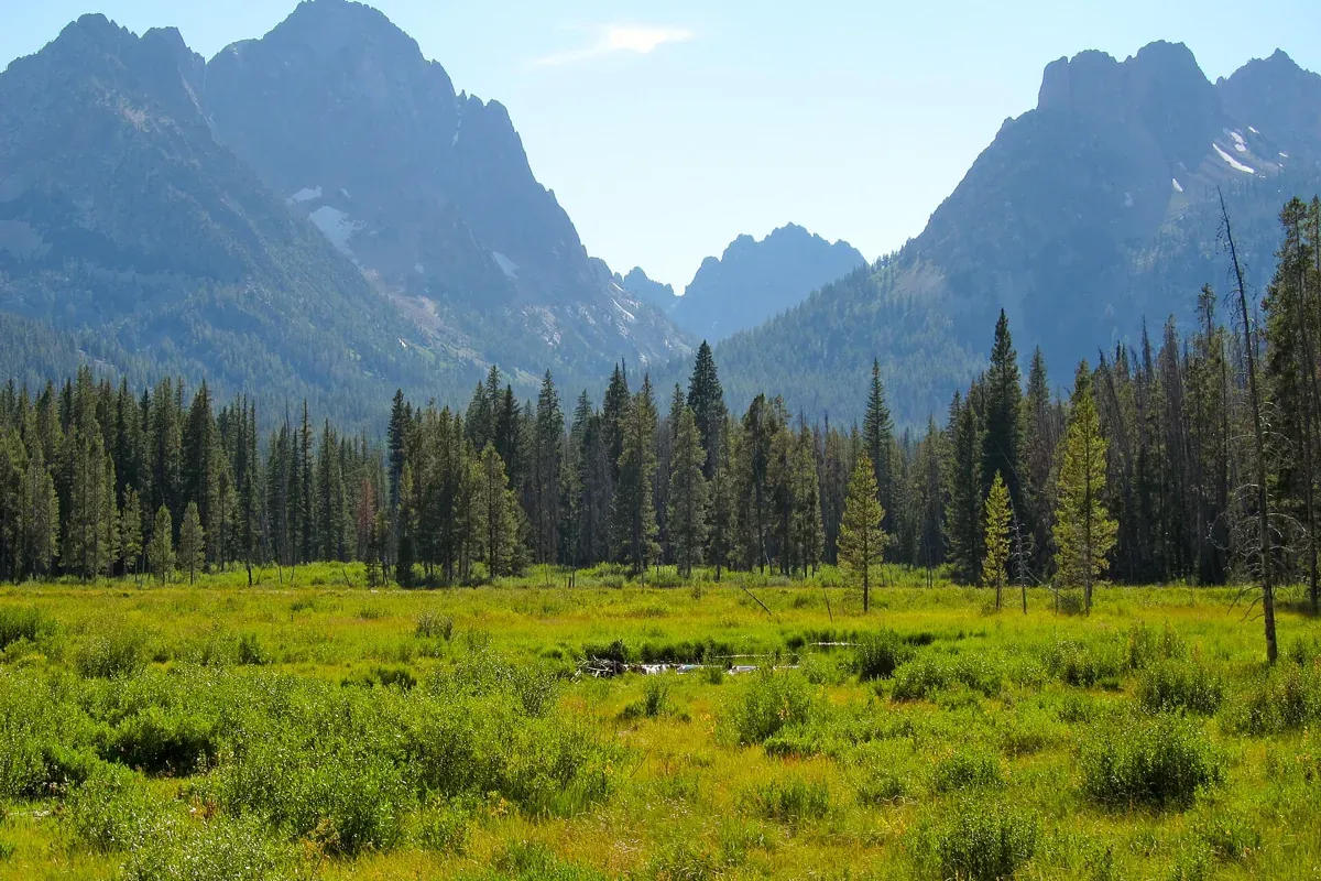
Fishhook Creek Trail is an approachable Sawtooth day hike from the Redfish Trailhead near Stanley, Idaho, leading through forest toward a meadow with mountain views. The Forest Service lists the meadow outing as about four miles round trip and rates it easy. It is a good candidate for a less strenuous mountain day, but check the latest trail report: a gentle grade does not guarantee an unobstructed path.
Start with our Idaho hiking hub if you are comparing regions. For this particular walk, the important planning decisions are the turnaround point, trail conditions and the distinction between the longer creek trail and the much shorter interpretive nature trail near the visitor center.
Which Fishhook Creek walk do you mean?
There are two outings with easily confused names. This guide covers Fishhook Creek Trail 186, approached from the Redfish Trailhead and followed toward the mountain meadow. The Fishhook Creek Nature Trail described by the Sawtooth Interpretive and Historical Association is a quarter-mile interpretive walk beginning at the Redfish Visitor Center near the amphitheater.
The nature trail is the better match if you want a very short stop to look for creekside wildlife or do an interpretive walk with young children. It is not a shortcut to the mountain meadow. Confirm the starting location as well as the name when saving a map, arranging to meet friends or estimating how much water and time to bring.
Distance depends on your turnaround
The Forest Service's July 2026 Sawtooth trail report gives four miles round trip for the Fishhook meadow outing. Other established route descriptions use a farther endpoint: Visit Idaho describes 4.4 miles round trip, while Sawtooth Trails maps 2.5 miles one way. These figures are not a reason to chase an exact odometer reading beyond a comfortable stopping place.
Plan around the meadow as your destination and retrace the route when your group has had enough time there. A party continuing farther along the mapped trail should expect a longer day than someone using the Forest Service's four-mile meadow description. The Forest Service notes that the trail continues into wilderness and eventually fades out; it is not an invitation to turn an easy outing into an unplanned cross-country route.
Getting to the Redfish Trailhead
The official Redfish Trailhead page verifies the location at 44.1473, -114.9184. This guide's map pin marks that starting area, not the meadow endpoint. From the Stanley area, use Idaho 75 and the signed Redfish Lake approach, then follow local signs for the trailhead rather than simply driving to the lake beach.
The Redfish area serves many different recreation users. Park only in a legal space and do not create an overflow spot in vegetation. The Forest Service states that potable water is not available at the trailhead, so fill bottles before you arrive. Its trailhead listing does not confirm restroom information; plan a restroom stop using verified facilities elsewhere in the developed Redfish area.
What the walk is like
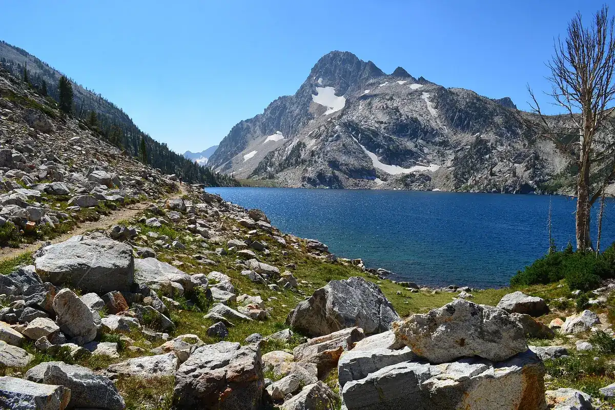
The appeal is the progression from enclosed forest to an open meadow with the Sawtooth skyline behind it. Early in the walk, focus on the creek corridor and forest rather than expecting a continuous panorama. Visit Idaho describes evergreen and aspen forest, smaller meadows and a final opening toward the surrounding peaks.
Use signed junctions to remain on the Fishhook Creek route. The Redfish trail network also serves more ambitious destinations, so a clear main tread is not enough evidence that you are headed to the intended meadow. Carry a map you can read without cell reception and check it at junctions, not only after the scenery stops matching your expectations.
At the meadow, stay on durable surfaces and resist following faint tracks into wet ground for a clearer photograph. Wetland vegetation and stream margins are easily damaged. A short pause at the established viewing area is a better finish than circling the meadow to recreate someone else's camera angle. The return follows the way you came, which makes conservative turnarounds straightforward.
Check downed trees and seasonal conditions
The July 22, 2026 Forest Service report includes a June observation of several downed trees before the wilderness boundary, including a large pine blocking the path. That is a dated observation, not a claim about today's exact obstruction. It does show why “easy” should be read as a general route grade rather than a promise that children, mobility-limited hikers or a stroller can pass without difficulty.
Review the current Sawtooth National Forest alerts and trail information before setting out. Snow, muddy tread, smoke and new treefall can change the outing. Do not improvise a broad detour through fragile ground around an obstacle. If the route cannot be passed safely, turn back. Carry layers, food, drinking water and a map even if the planned walk is short.
This guide does not assign a universal dog policy, permit requirement or parking fee to every version of the walk. The route approaches and can enter designated wilderness, so read current signs and land-manager instructions for your actual itinerary. If hiking with a pet, confirm the applicable restrictions before driving to the trailhead.
Building a Stanley hiking day
Use Stanley as the planning base and keep the rest of the day flexible. A lakeside stop at Redfish Lake pairs naturally with a creek hike, but it has its own parking and access considerations. Our Sawtooth National Recreation Area guide explains the larger setting.
If your group wants a more demanding destination, compare the separate Sawtooth Lake hike and Alice Lake Trail before the trip. Neither is simply an extension of this easy meadow walk. Make that choice around fitness, conditions and daylight, not a desire to add another famous name after lunch.
Questions before you go
How long is Fishhook Creek Trail?
The Forest Service lists about four miles round trip to the meadow. Other mapped endpoints produce longer totals, including a 2.5-mile one-way route on Sawtooth Trails. Choose your turnaround before starting.
Is Fishhook Creek Trail the short nature trail?
No. The quarter-mile Fishhook Creek Nature Trail starts near the Redfish Visitor Center. The longer meadow hike uses the Redfish Trailhead.
Sources & planning resources
- Forest Service Redfish Trailhead coordinates and water availability
- Sawtooth National Forest current alerts
- Forest Service Sawtooth trail report, July 22 2026
- Visit Idaho Fish Hook Creek route description
- Sawtooth Trails Fishhook Trail 186 map and route length
- SIHA Fishhook Creek Nature Trail distinction