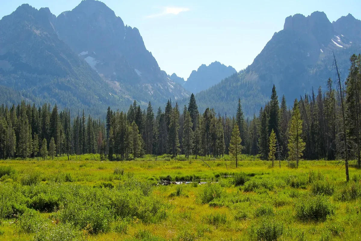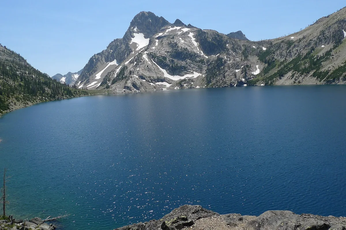
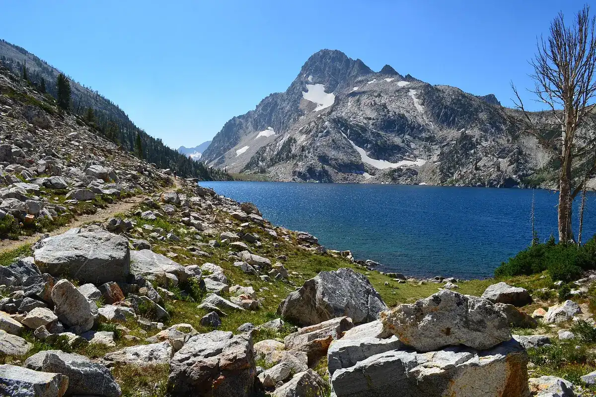
The Sawtooth Lake hike starts at Iron Creek near Stanley and climbs to a broad alpine basin below Mount Regan. Allow for about 10 miles round trip and 1,800 feet of elevation gain, the figures published by the Sawtooth Interpretive & Historical Association, the Forest Service's local trail-information partner. This is a substantial day hike, not a quick lake walk you can squeeze between other stops.
Access notice: The Forest Service has closed the Grandjean campground and trailhead for the foreseeable future following debris flows, under an order starting July 23, 2026. This guide uses Iron Creek, not Grandjean. Check Sawtooth National Forest alerts for restrictions affecting your chosen approach.
The appeal is the progression: a valley approach, a steeper climb past Alpine Lake, and then open mountain scenery at Sawtooth Lake. Choose a day when the route is within your abilities and conditions, not simply because the lake appears on a must-see list. Our Idaho hiking hub has alternatives for different distances and landscapes.
Getting to Iron Creek trailhead
From Stanley, the Forest Service directions for Iron Creek Campground take you northwest on Idaho 21 for 2.5 miles, then south on Forest Road 619 for four miles. The trailhead is near the campground. Follow trailhead signs rather than driving into a campsite and assuming it is day-use parking.
Iron Creek serves several routes and can fill up. The local interpretive association specifically asks visitors not to park in sagebrush or trees along the road because it damages habitat. Have a backup destination before leaving town. An early start may improve your options, but it is not a parking reservation and never makes an unsafe forecast acceptable.
Download your map and the approach directions before the drive. Mark your actual starting point so the return is straightforward. Check Forest Service access information and current forest alerts rather than relying on an old trip report to establish road or trail conditions.
What the route is like
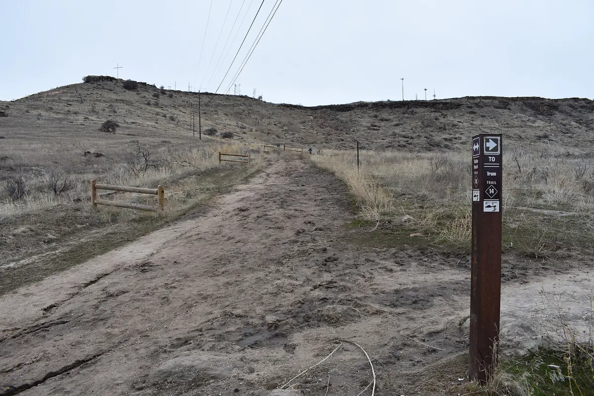
The trail follows the valley bottom before the climb becomes steeper. Keep track of signed junctions: the Iron Creek area also accesses other destinations, and following a group is not a substitute for navigating. Take breaks early enough that you still have energy for the upper climb and the descent.
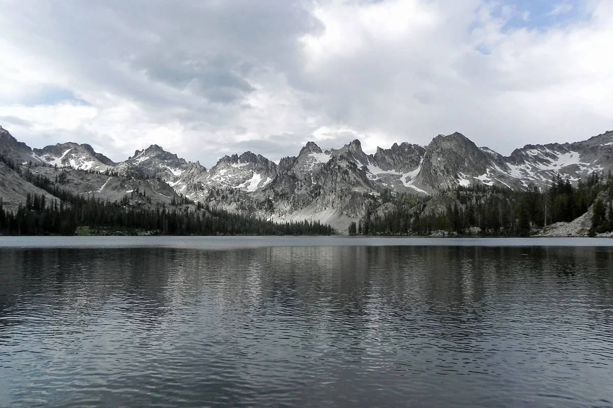
Alpine Lake is the important intermediate landmark. The trail continues above it, gaining about another 500 feet before reaching Sawtooth Lake, according to the interpretive association. That final section matters when you are deciding whether the whole group can comfortably finish. The lake itself is not the halfway point in effort if everyone has already exhausted their legs.
At Sawtooth Lake, find a durable place to stop without trampling shoreline vegetation. Mount Regan rises at the southern end of the lake. Enjoy the view, eat, add a layer if you are cooling down, and reassess the weather before lingering. The standard outing returns by the approach; walking farther along the shore adds distance beyond your basic plan.
Is Sawtooth Lake a difficult hike?
Treat it as a demanding outing because of the combination of length, sustained climbing, and a high mountain setting. A fit hiker comfortable with comparable distances may find it manageable, while someone accustomed only to short walks may find the descent particularly tiring. Snow, heat, smoke, and thunderstorms can change the challenge substantially.
Set a turnaround time before leaving the trailhead and keep it even if the destination feels close. Carry food, adequate water and a treatment option, sun protection, rain protection, insulation, a headlamp, and navigation that works without service. Do not plan your water needs around an assumption that a particular seasonal stream will be flowing.
A shorter option at Alpine Lake
The association lists Alpine Lake from Iron Creek at eight miles round trip with 1,300 feet of gain. That is shorter than Sawtooth Lake but still a meaningful mountain hike. The main trail provides a view of Alpine Lake; the association describes the user-made path down to its shore as steep and unmarked, so reaching the water is not a necessary part of the outing.
If eight miles is also too much, choose a different hike from the start. Fishhook Creek offers a lower-commitment Sawtooth outing, while Alice Lake is another long day rather than an easy fallback. Compare them in our Sawtooth hikes guide before committing to a trailhead.
When to go and what to check
Plan around snow-free trail conditions rather than a fixed opening date. Snow can linger in the high country after roads and lower paths look ready for summer. The lake's elevation is roughly 8,400 feet, and early-season travel may require skills and equipment beyond ordinary hiking. Ask for a current trail report if you are unsure whether the route is appropriate.
For a straightforward hiking trip, favor established summer conditions, then check again close to departure for fire closures, smoke, storms, and fresh snow. An older report saying a trail was cleared or closed is not evidence of its condition today. Keep a lower-elevation alternative available and be willing to replace the lake objective entirely.
Permits, dogs, and protecting the basin
All Sawtooth Wilderness users need a free wilderness permit, available through self-registration at the trailhead or wilderness boundary. The Forest Service requires groups of eight or more to contact an office for a permit. Read the wilderness regulations before your trip, particularly if you are considering an overnight stay rather than a day hike.
Dogs must be leashed on wilderness trails from July 1 through Labor Day. Keep your dog under control outside that period as well, yield space to other trail users, and pack out pet waste. Bring enough water and consider whether your dog is prepared for the entire distance, not merely the outward climb.
Campfires are restricted around Sawtooth Lake and Alpine Lake; existing fire rings do not prove a fire is legal. Follow current orders, use established routes, and pack out all trash and toilet paper. For a broader understanding of this protected landscape, see our Sawtooth National Recreation Area guide.
Questions before you go
How long is the Sawtooth Lake hike?
The Sawtooth Interpretive & Historical Association lists 10 miles round trip with about 1,800 feet of elevation gain from Iron Creek.
Is a permit required for a day hike?
Yes. All Sawtooth Wilderness users need a free wilderness permit. Self-register at the trailhead or wilderness boundary; groups of eight or more should contact the Forest Service.
Can dogs hike to Sawtooth Lake?
Dogs must be leashed on wilderness trails from July 1 through Labor Day. Keep them under control at other times and check current Forest Service orders.
Sources & planning resources
- Sawtooth Interpretive & Historical Association: Sawtooth Lake
- Sawtooth Interpretive & Historical Association: Alpine Lake, Iron Creek
- USFS: Iron Creek Campground, access and coordinates
- USFS: Sawtooth Wilderness Regulations
- USFS: Sawtooth Wilderness Area Occupancy and Use order
- USFS: SNRA trail report and official partner reference; dated report, not live conditions
- Wikipedia: Sawtooth Lake geography and coordinates
- USFS: Grandjean Area, Road, and Trail Closure
- USFS: Sawtooth National Forest current alerts