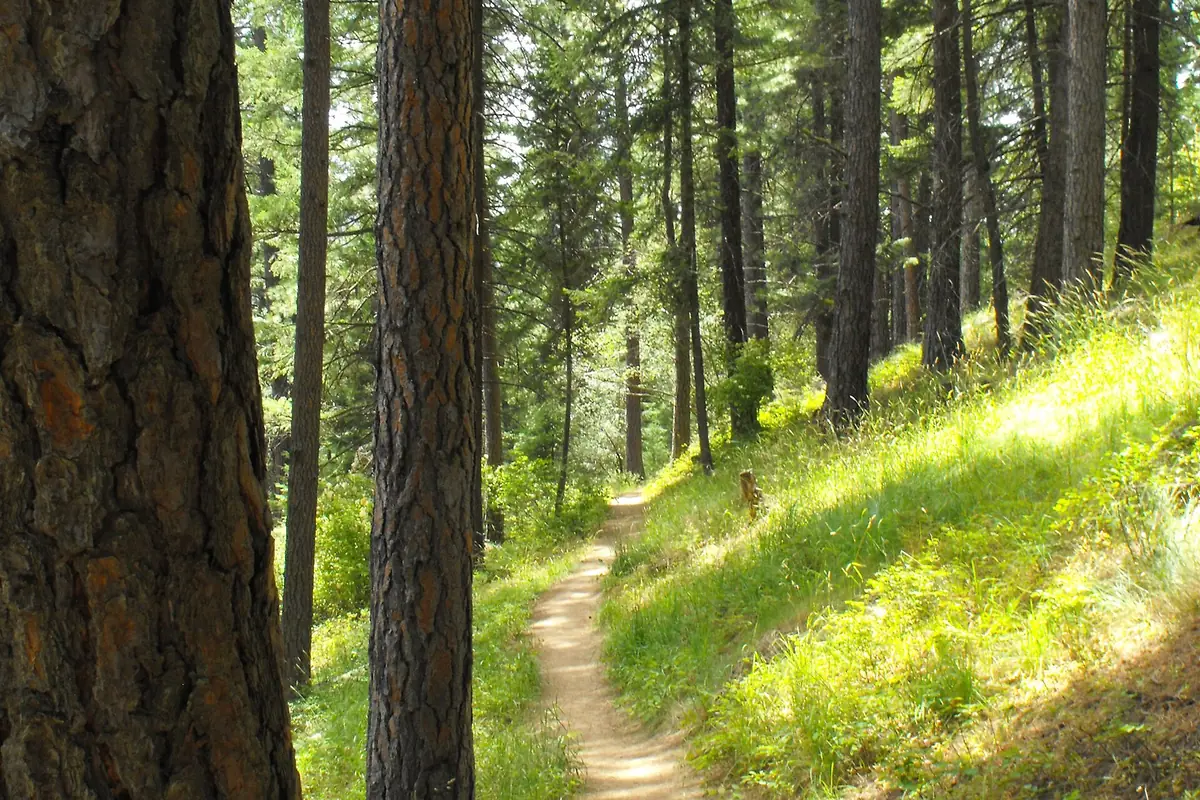
The Idaho Centennial Trail is a border-to-border route through some of Idaho’s most remote country, linking the Nevada boundary with the Canadian border. It is not a single consistently maintained footpath. Existing trails and primitive roads form the route, so navigation, seasonal timing, access arrangements, and current land-manager information belong at the center of any plan.
How long is the Idaho Centennial Trail?
Official mileage is not fully consistent across state publications. Idaho Parks and Recreation’s hiking page lists 995.6 miles, while its older planning guide and September 2026 reroute announcement describe an approximately 900-mile trail. Do not use either headline number as a precise food-carry or daily-distance calculation.
Instead, measure the current route you intend to follow, including access walks, approved reroutes, and resupply detours. The trail was designated Idaho’s official state trail during the 1990 centennial. Its significance is the connection across landscapes, not an assurance that every mile is signed or built to the same standard.
This is a point-to-point route, not a round-trip hike with one standard elevation-gain figure. A day hike might use a short out-and-back section, while a backpacking trip could require a shuttle or a separate exit route. Calculate those distances for the chosen segment.
Understand the route’s major landscapes
The southern route starts near Murphy Hot Springs at the Idaho–Nevada border. Idaho Parks and Recreation describes high desert country followed by the Snake River near Glenns Ferry, then repeated climbs and descents through central Idaho mountains. Farther north, the route reaches the Selway River country before crossing the Cabinet and Selkirk mountains toward Canada.
State guidance puts elevations near 6,000 feet at the southern start, around 2,500 feet at the Snake River, and roughly 3,000–9,000 feet through central mountain country. The Selway corridor drops to around 1,900 feet. Those contrasts explain why there is no single ideal weather forecast or clothing list for the whole route.
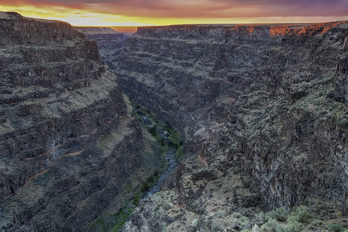
Our map pin marks the southern trailhead area, not the center of the entire trail. The photograph shows Bruneau Canyon, a landscape near the southern corridor; it is not intended as a trail-junction or navigation image.
The 2026 Big Creek reroute matters
In September 2026, the Idaho Parks and Recreation Board approved a reroute to avoid an unbridged crossing of Big Creek. The announcement says the revised route uses Milk Creek Trail #064 and Monumental Creek Trail #005 to reach an existing bridge near the Monumental Creek junction, adding approximately nine miles.
Read the official reroute announcement and verify the latest alignment and implementation details before hiking that area. An old downloaded track can still send you toward the former ford. A route change intended to reduce risk is only useful if your maps reflect it.
Choose a section before attempting a thru-hike
A section hike is a practical introduction, but choose it by logistics rather than scenery alone. Confirm where you can legally park, whether the access road suits your vehicle, and how you will leave the route if conditions deteriorate. A short line on a statewide map can still require a long backcountry approach.
- Identify the managing ranger district or BLM office for the whole segment.
- Ask about trail maintenance, bridges, blowdown, recent fire effects, and closures.
- Map every planned water source and a backup strategy if it is dry.
- Set realistic daily distances for terrain and pack weight.
- Arrange pickup details that do not depend on mobile reception.
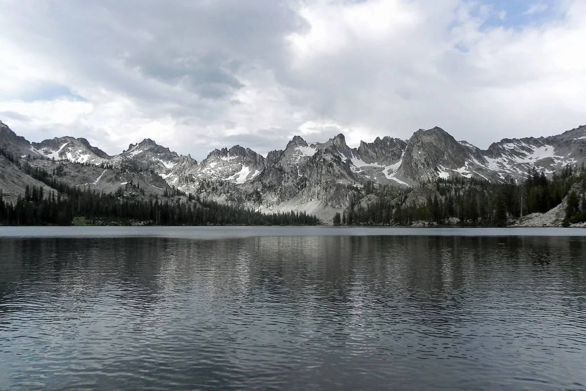
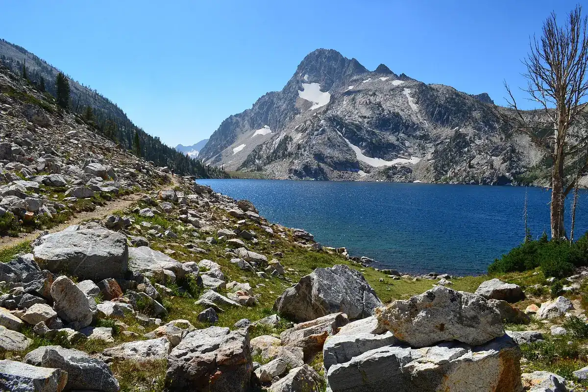
For a first Idaho backpacking trip, a more contained route such as Alice Lake or Sawtooth Lake may be easier to research. Those are separate destinations, not guaranteed substitutes for any specific Centennial Trail section.
Seasonal timing is a moving target
The state’s older planning guide describes a south-to-north strategy: cross southern desert country before major summer heat, reach the Sawtooths after substantial snowmelt, and finish in the north before autumn snow. Treat that as a broad explanation of competing seasonal pressures, not a fixed departure schedule.
A heavy snow year, wildfire, low water, or an impassable crossing can change the plan. Get fresh information for each region rather than relying on a report from the opposite end of the state. A route that is comfortable in the desert can still be blocked by snow in the mountains.
Maps, permits, dogs, and permitted uses
Start with the Idaho Parks and Recreation hiking page, which links route maps, GPS material, and planning resources. Carry detailed offline topographic maps and an independent backup. Statewide overview maps are useful for context, not sufficient for every junction.
There is no reliable single answer here for every camping permit, fee, dog restriction, or access rule along the entire corridor. Check the manager for each segment and any wilderness or campground you will enter. Hiking and stock use are recognized along the route; bicycle and motorized access apply only to appropriate sections, not the entire trail.
Plan resupply around confirmed arrangements, not an assumption that a nearby map label means groceries or lodging. Carry a communication and emergency plan suited to remote terrain, and leave your route and decision points with a trusted contact.
Plan the wider Idaho trip
Use our Idaho hiking hub for more defined trail outings and the Frank Church wilderness guide for background on central Idaho remoteness. The statewide hike selection can help identify a shorter trip if the Centennial Trail’s logistics exceed your available time. Choosing a manageable section is a strong plan, not a lesser version of a thru-hike.
Questions before you go
Is the Idaho Centennial Trail one continuous purpose-built footpath?
No. The state describes a route made from existing trails and primitive roads, with different permitted uses and conditions by section.
Why do different sources give different trail lengths?
State publications use different totals and the alignment changes. Use current segment mapping for logistics rather than treating an approximate statewide number as exact.