Borah Peak is Idaho's highest mountain, reached on its traditional Southwest Ridge route by a steep climb that includes exposed scrambling at Chicken Out Ridge. The Forest Service lists 3.5 miles one-way and 5,262 feet of elevation gain, so the short-looking mileage should not be confused with an easy hike. Reaching the summit requires appropriate mountain judgment as well as fitness.
This guide is a planning overview, not turn-by-turn climbing instruction or an assessment of today's snow and rock conditions. Compare the route with other options in our Idaho hiking guide before deciding whether it matches the skills of everyone in your group.
How difficult is the Borah Peak climb?
The traditional route starts around 7,400 feet and reaches a summit listed by the Forest Service at 12,662 feet. Its official route figures work out to about seven miles out and back. The steepness, altitude, exposure, and scrambling matter far more than that mileage alone.
The Forest Service route page gives 5,262 feet of gain, while its May 2025 pamphlet rounds the climb to roughly 5,400 feet. Use those numbers to understand the scale of the effort, not to predict an exact device reading. Different mapping methods and small route variations can produce different totals.
Expect a long day and preserve energy for the return. Descending tired legs over loose rock is part of the climb, not an easy afterthought. If anyone is uncomfortable reversing a scrambling move, that is a reason to stop before continuing higher. A summit is optional; safely descending the same terrain is not.
Where is the trailhead?
The Mt. Borah Trailhead and Camping Area is reached from U.S. Highway 93 between Mackay and Challis. Follow the signed Borah access road to the trailhead. The Forest Service describes roughly three miles on the access road; its climbing information places the highway turn between mileposts 129 and 130.
The map pin on this page marks the trailhead using the coordinates published by the Forest Service, not the mountain's summit. Check the official trailhead page for the approach and contact the forest about current road conditions. Do not assume an app's mountain shortcut is suitable for your vehicle.
The climbing page distinguishes a lower area for trailers and motorhomes from the upper trailhead, which is intended for regular-size vehicles. Organize your parking so other drivers can turn around. The Forest Service lists toilets but no water at the trailhead, and asks visitors to pack out their garbage.
What is Chicken Out Ridge?
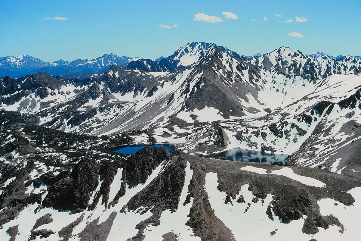
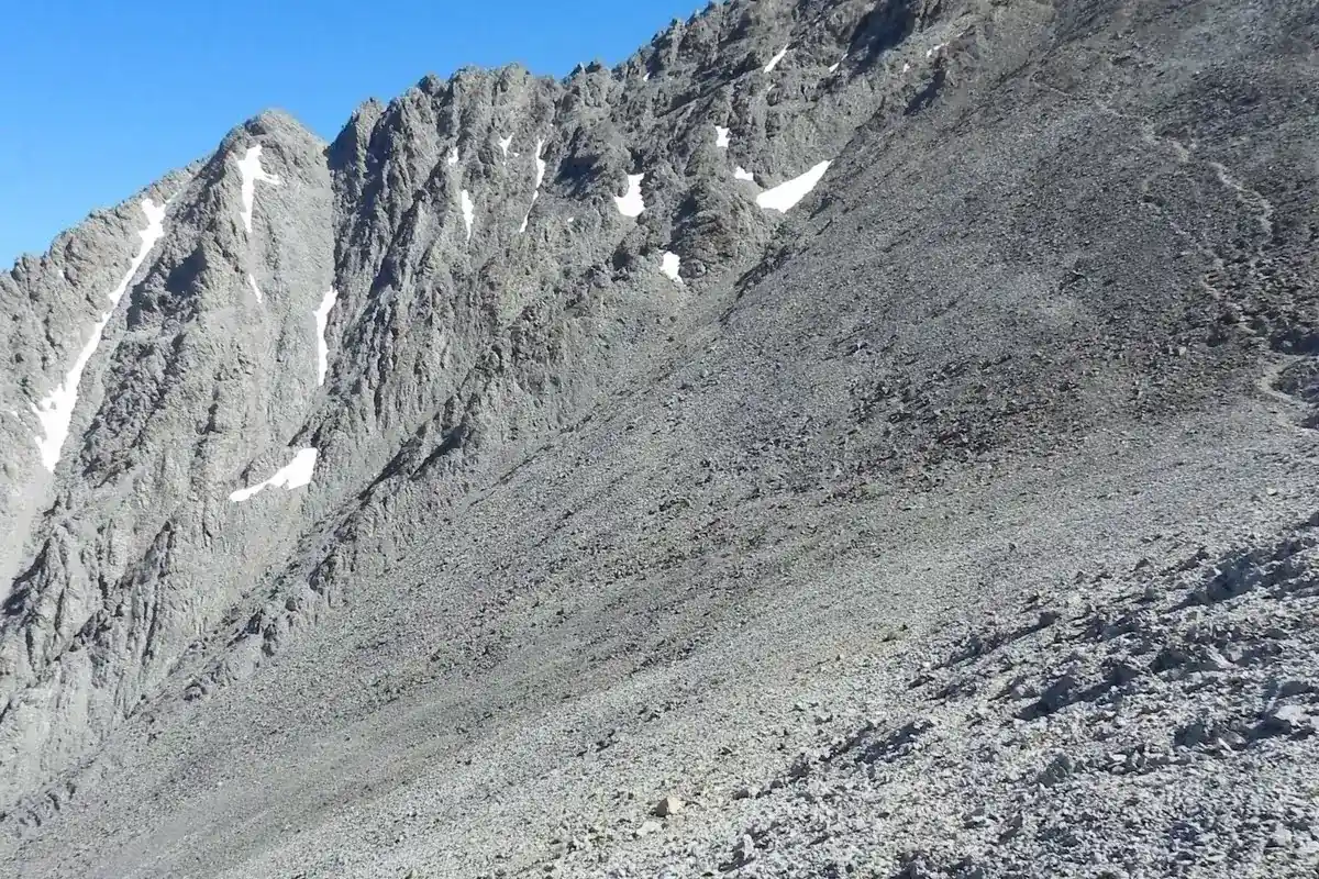
After the initial steep ascent and the climb above timberline, the traditional route reaches a narrow rocky section known as Chicken Out Ridge. The Forest Service describes using hands as well as feet to move over and around the rock. This is the transition that makes “just a steep hike” a misleading description of Borah.
Beyond the ridge, the route crosses a steep couloir that the Forest Service says is often covered by packed snow. The nature of that crossing changes with conditions. Do not assume a trip report from a previous season, or even earlier in the same summer, establishes whether you can safely cross it now.
Snow travel may require equipment and skills that a strong trail hiker has not practiced. Carrying tools without knowing how to use them does not solve the problem. If current conditions exceed your experience, choose a different objective, seek qualified instruction, or turn around before entering terrain you cannot comfortably reverse.
When should you attempt the route?
Plan around current mountain conditions, not a guaranteed calendar window. Lingering snow, new snow, ice, wind, and thunderstorms can change the difficulty substantially. Check a mountain-specific forecast and seek recent information from the Salmon-Challis National Forest before traveling. Review the current forest alerts for road and area restrictions; a published route description is not confirmation that access is open today.
An early start can create more daylight margin, but it is not protection against an unsuitable forecast. Set a turnaround time before leaving and revisit it as the group moves. Getting delayed low on the route is a reason to reduce the day's objective rather than hurry across exposed terrain higher up.
Carry warm layers, a shell, navigation tools, a headlamp, food, water, and emergency supplies. Plan water from the trailhead's lack of supply rather than expecting a convenient refill on the ridge. Consider rockfall and head protection as part of your climbing preparation, especially with parties above and below you.
Permits, camping, and choosing another objective
The Forest Service climbing page states that climbing permits are not required, but check current access notices and restrictions before departure. Camping and fire information can change; the absence of a climbing permit requirement does not mean all camping, parking, or fire use is unrestricted. This guide does not quote a camping fee or promise campsite availability.
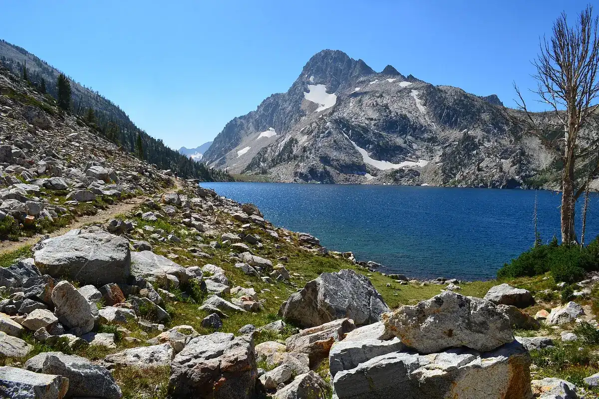
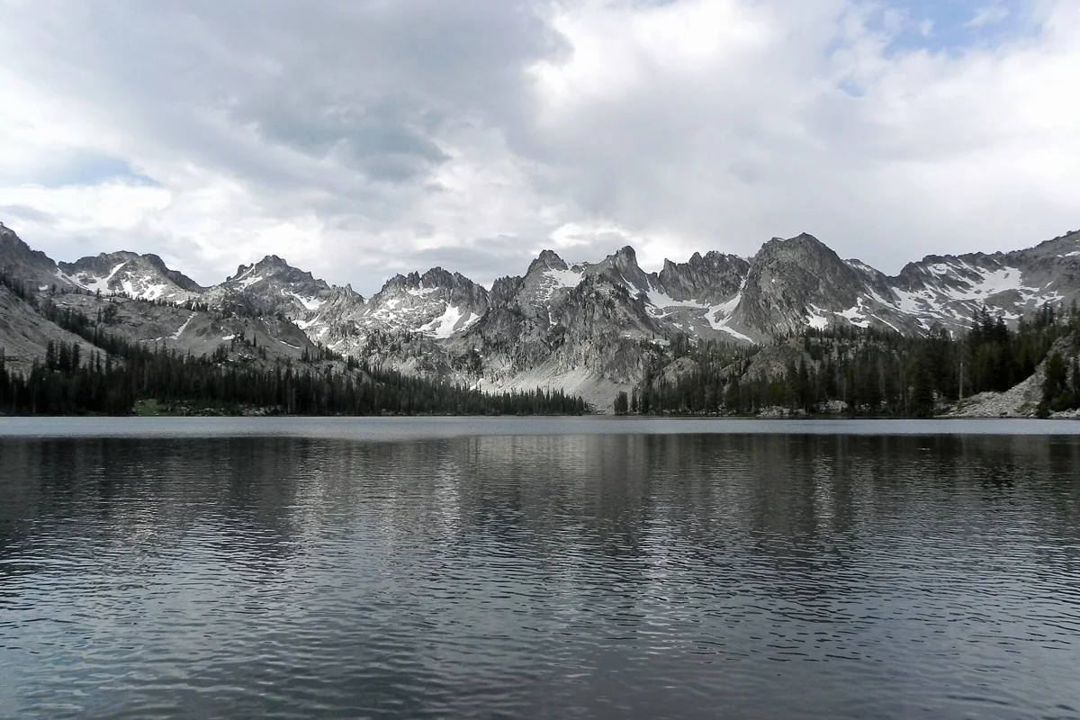
For a different central Idaho mountain outing, research Sawtooth Lake or Alice Lake. Those are separate hikes with their own mileage, conditions, and preparation needs, not easy alternatives next door. Our Sawtooth National Recreation Area guide can help organize a broader mountain trip.
Choose Borah because your group is prepared for its terrain, not because being Idaho's highest point makes it a required stop. Agree in advance that anyone can call for a turnaround without pressure. That decision belongs before fatigue, summit excitement, and exposed rock make the conversation harder.
Questions before you go
Is Borah Peak just a hike?
No. The traditional route includes exposed scrambling at Chicken Out Ridge and a steep couloir that can hold snow. Fitness alone is not sufficient preparation.
How long is the standard Borah Peak route?
The Forest Service lists 3.5 miles one-way, about seven miles round trip, with 5,262 feet of elevation gain. Its steep and exposed terrain makes mileage a poor measure of difficulty.