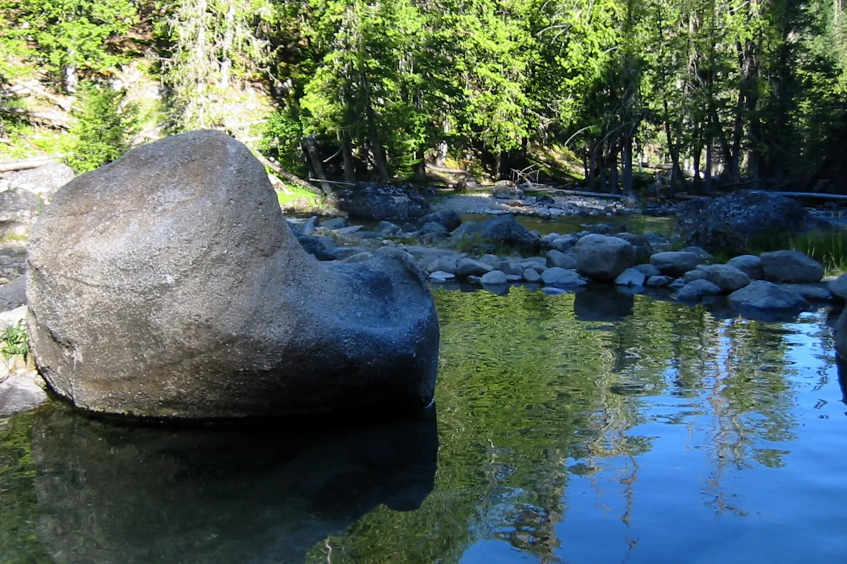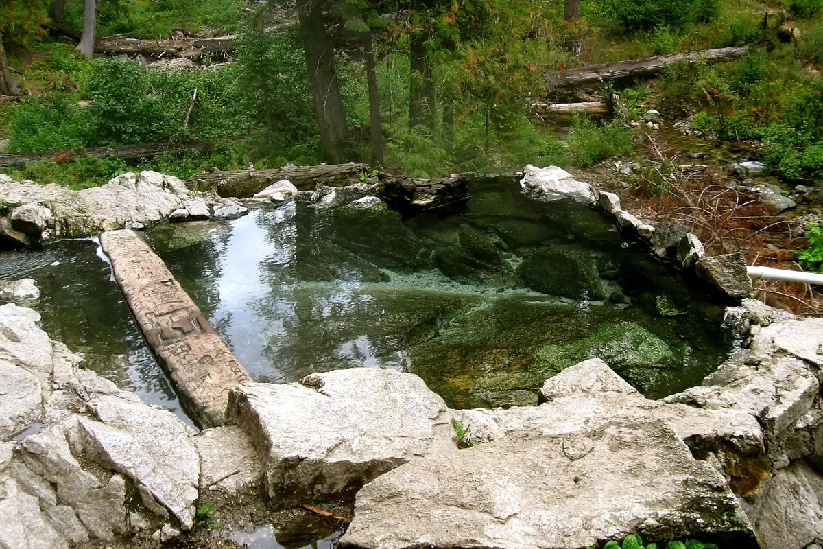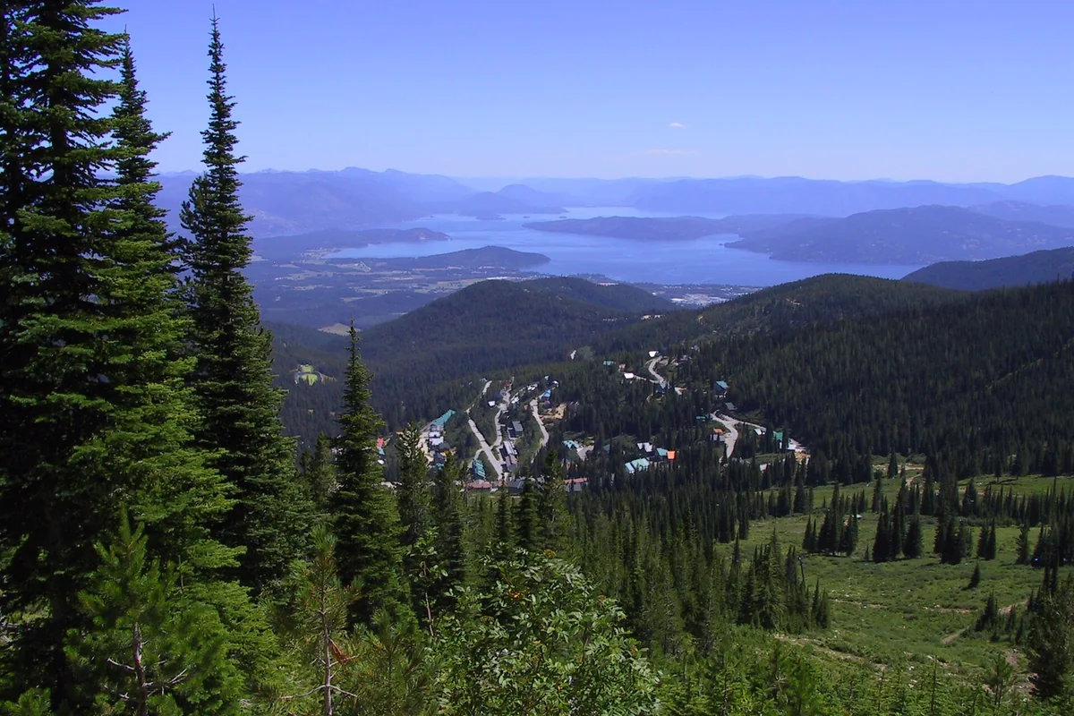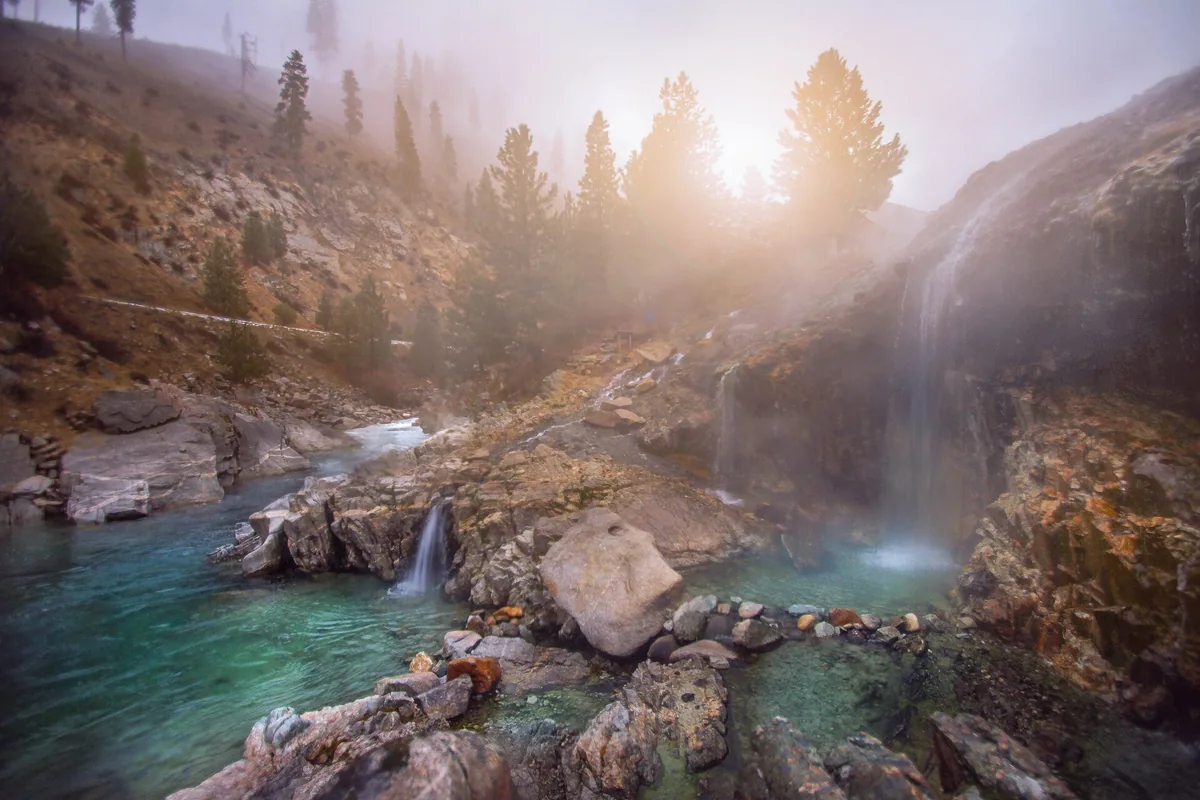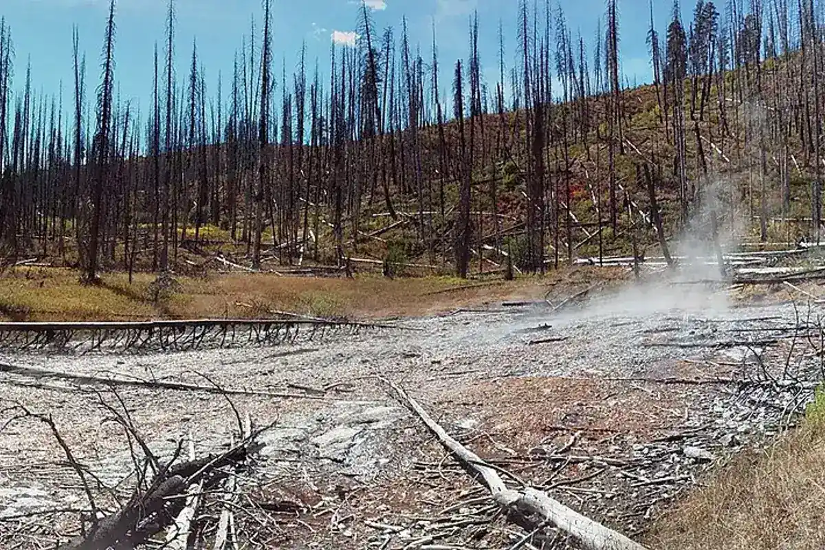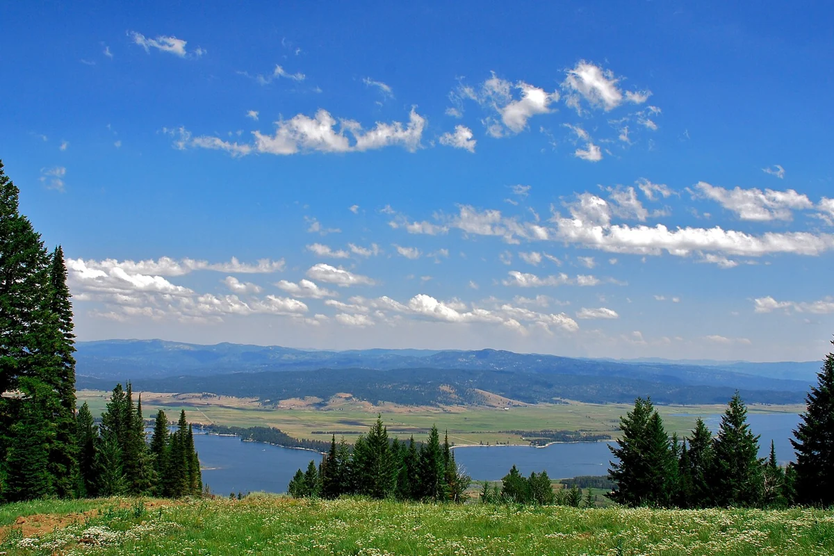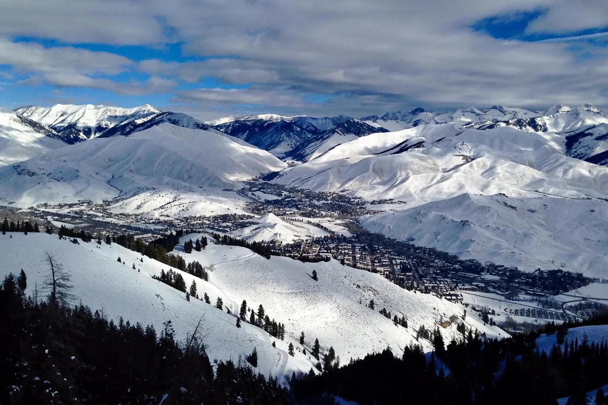
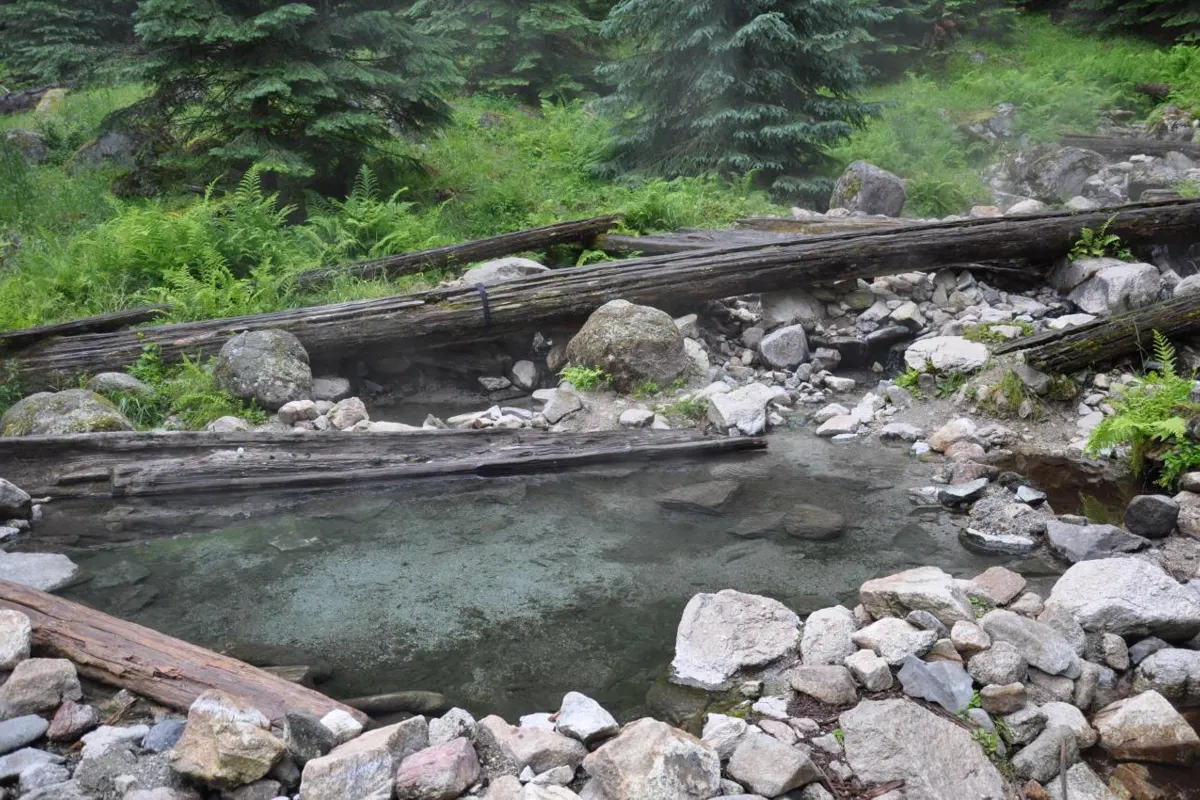
Stanley Hot Springs is a backcountry destination in the Selway–Bitterroot Wilderness above the Lochsa River corridor, not a roadside soak in the town of Stanley. Access is on foot from Wilderness Gateway via Boulder Creek Trail 211, with a creek crossing that can determine whether the trip is possible at all.
Regional closure warning: The regional tourism office reports the Weir Creek area closed until further notice. Do not treat nearby Weir Creek as an open backup; read the official regional hot-springs notice. For Stanley Hot Springs itself, consult the Nez Perce–Clearwater alerts and confirm current Boulder Creek access before setting out. This page does not certify that the trail or creek crossing is currently passable.
Choose this outing for the hike as much as the soak. It is a substantial walk into wilderness, not an easy stop between highway viewpoints. If your group wants a short approach, use the Idaho hot springs guide to compare alternatives before committing to this route.
Where Stanley Hot Springs actually is
The springs are in Idaho County in the Selway–Bitterroot Wilderness. The access corridor is U.S. 12 east of Lowell, along the Lochsa River. Wilderness Gateway is the starting area named in route descriptions. This is a completely different trip from visiting Stanley in central Idaho, near the Sawtooths.
That distinction matters when booking lodging and downloading directions. Search results for “Stanley hot springs” can mix the wilderness destination with hot springs around the town. Confirm that your route begins at Wilderness Gateway and follows Boulder Creek, rather than accepting the first driving estimate attached to the word Stanley.
The hike on Boulder Creek Trail 211
The Nez Perce–Clearwater National Forests’ trail report identifies Boulder Creek as Trail 211 and describes trail work beginning at Wilderness Gateway. Lochsa Lodge’s published hiking guide describes an approach climbing above the creek, entering wilderness and continuing toward the springs. Expect a sustained outing, with climbing and sections exposed to the sun.
Descriptions differ slightly in their measurement of the full route. Plan for roughly a ten-mile round-trip hike rather than interpreting an online mileage as an exact promise. The distance to a trail junction is not necessarily the distance to a pool, and navigating the final approach takes time. We have left a precise elevation-gain figure out because the available accounts are not consistent.
Carry an offline map that includes the trail network, not just a saved pin at the springs. Start early enough to return in daylight without rushing. Allow time to assess conditions and turn around; a schedule that depends on reaching the water regardless of obstacles is not a sound wilderness plan.
Boulder Creek is the key decision point
Published accounts describe an unbridged crossing of Boulder Creek on the approach to the springs. Older descriptions of logs, ropes or improvised crossings are not evidence that those features remain in place or are safe. A photograph of another person crossing is not a reliable measure of the depth, force or temperature you will encounter.
Ask the Forest Service about current crossing conditions and recent trail reports before departure. Fast water, uncertain footing or a crossing beyond anyone’s ability is a reason to turn back. Do not treat this guide as instructions to ford a particular line or use a particular log. Crossing safely on the way in also does not guarantee the same conditions on the way out.
When to consider the trip
A snow-free trail and lower creek flow are more useful planning criteria than a fixed opening date. Spring runoff can make the crossing especially hazardous. Rain, lingering snow, fallen trees and wildfire closures can change the practical season. The Forest Service’s safety guidance warns visitors to be cautious around fast streams and creek crossings.
The route’s open stretches can be hot in summer. Carry sun protection and enough drinking water for the hike, rather than counting on a pool to cool down or supply water. Cooler shoulder-season weather can improve walking comfort while also bringing shorter daylight and colder conditions if plans go wrong.
What to bring and how to use the pools responsibly
- Bring navigation, a headlamp, layers, food and a realistic turnaround plan.
- Carry drinking water and a treatment method for backcountry water; the hot pools are not a drinking-water source.
- Keep a dry layer available for the return hike, even when the forecast sounds mild.
- Pack out all trash, including food scraps and hygiene products.
- Leave soap and other bathing products out of natural pools and streams.
Water temperatures and pool arrangements can vary. Assess the water cautiously, avoid blocking an inlet or outlet and do not rebuild pools to suit one party. Keep gear out of other visitors’ way and leave room for people who have made the same long approach. Natural hot springs are not maintained swimming pools.
Day hike or overnight?
A day hike keeps the packing and camping logistics simpler, but the walking distance still deserves a full day’s attention. An overnight trip requires a suitable legal camp, food storage, waste planning and a check of current wilderness restrictions. Do not assume a previously used campsite is permitted just because it appears in a trip report.
Check current rules for fires, dogs, camping setbacks and any permits directly with the managing forest. This page intentionally does not promise that parking, camping or wilderness use is free. Confirm the details for your actual trailhead and trip type rather than transferring a rule from another Idaho forest.
Other stops along the U.S. 12 corridor
For another natural-springs outing in the region, compare our guides to Jerry Johnson Hot Springs and Weir Creek Hot Springs. Weir Creek is subject to the closure warning above. Access and restrictions differ between sites; neither is a guaranteed substitute when conditions are poor.
Build the rest of the route with the northern Idaho travel guide and the broader hiking guide. Keep highway stops, trail time and the return drive separate in your plan. The most useful fallback may be a short walk and a comfortable night in town rather than another ambitious creek crossing.
Questions before you go
Is Stanley Hot Springs near Stanley, Idaho?
No. This wilderness destination is in the Selway–Bitterroot Wilderness off the U.S. 12 and Lochsa River corridor, not near the Sawtooth town of Stanley.
Is there a reliable bridge over Boulder Creek?
Published route accounts describe an unbridged crossing. Check current Forest Service information; never rely on an old description of logs or ropes.
Sources & planning resources
- Nez Perce–Clearwater National Forests: Central Zone Trails Report, September 2025
- Lochsa Lodge: Popular Hiking Guide
- Stanley Hot Springs geographic overview
- Bitterroot National Forest: Safety and Ethics
- Visit North Central Idaho: Hot Springs in North Central Idaho
- Nez Perce–Clearwater National Forests: Alerts