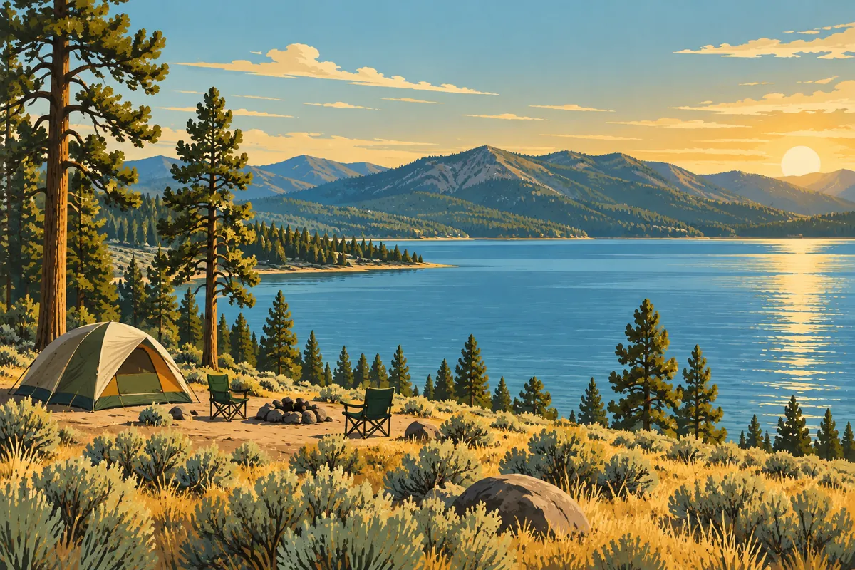
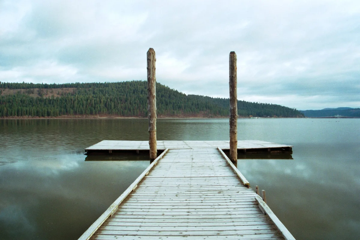
Heyburn State Park is a North Idaho destination for paddling, camping, forest walks and access to the Trail of the Coeur d’Alenes. Its three lakes, Chatcolet, Benewah and Hidden, sit within a landscape of wetlands, forested slopes and river channels. Choose one activity area before arriving: this is not a single compact waterfront lawn.
Established in 1908, Heyburn is Idaho’s oldest state park. Its long history is visible alongside its recreation facilities, including work completed by the Civilian Conservation Corps. It is a good fit for visitors who want to spend time within a landscape rather than move quickly between roadside attractions.
Where is Heyburn State Park?
The official park address is 57 Chatcolet Road near Plummer. Use the current park map to locate your campground, marina, trailhead or day-use area; the general park pin is only a starting point. Arriving at the wrong recreation area can add unnecessary driving before you have even started walking or unloading a boat.
For trip planning, connect the park with Lake Coeur d’Alene and the communities around the lake’s southern end. If you are staying in Coeur d’Alene, treat Heyburn as a separate outing with its own travel and activity time, not an extension of a downtown waterfront stroll.
Ride or walk the Trail of the Coeur d’Alenes
The paved Trail of the Coeur d’Alenes runs through Heyburn. That creates an appealing option for a day that mixes a bicycle ride with a picnic or lakeside break. Pick an out-and-back segment that suits your group rather than letting the trail’s long-distance reputation dictate the day.
Use the official trail and park maps together to select parking and access. A route can be paved without every approach from a campsite being equally suitable for every bicycle or mobility device. If accessibility is central to your plan, confirm the specific facility and connection with park staff before traveling.
Shared paths work best when riders slow near people walking, announce passing and leave space at viewpoints. Keep stops clear of the travel lane. Plan your return around daylight, weather and your group’s energy rather than waiting until the farthest point to decide whether the ride has become too long.
Hiking in the park
Heyburn’s official page describes a connected South Side trail system, with routes including Scout Out, Gandy Dancer, Rocky Top and Ponderosa. The distinction between a named loop’s length and the total outing from the trailhead matters. Do not read a loop measurement as a guaranteed round-trip distance from your parking place.
Download the current map and choose a route before leaving. The park describes a mix of open ponderosa slopes, shaded forest and lake viewpoints. A forest walk can make a good alternative when the water is windy, but shaded sections and uneven footing still require appropriate shoes and attention.
For a first visit, choose a shorter marked outing and leave the larger connected system for a day when you can give it more time. Carry water and a map even if your route looks obvious at the start. Junctions become harder to interpret when daylight is fading or a group is tired.
Paddling and boating on three lakes
Idaho Parks and Recreation identifies Chatcolet, Benewah and Hidden as the park’s three lakes, with the St. Joe River along its eastern edge. Bring your own craft or check the current rental arrangements at Rocky Point Marina. The official page lists watercraft rentals, but availability and operating dates need confirmation for your visit.
Choose a launch and return point before getting on the water. Wetlands and connected channels can make a shoreline route less straightforward than a glance at the map suggests. Wear a life jacket, watch weather changes and do not make your safe return depend on reaching a different facility that may be closed.
Camping and overnight choices
Heyburn offers camping and roofed accommodation options, with several distinct overnight areas. Read the actual reservation listing for your site rather than assuming every campground has the same hookups, layout or waterfront relationship. Decide whether easy access to cycling, boating or a quieter camping setting matters most to your group.
Confirm vehicle length, hookup needs and any accommodation-specific packing requirements. Seasonal services can differ from park-wide access. If you need an accessible restroom, cabin or launch, verify the particular facility instead of relying on a general accessibility symbol for the entire park.
A realistic day at Heyburn
- Arrive with one primary activity chosen: cycling, paddling or hiking.
- Find the correct access point using the official map and current notices.
- Keep lunch flexible, with enough water and food for a change of plans.
- Add a second short activity only if conditions and energy allow.
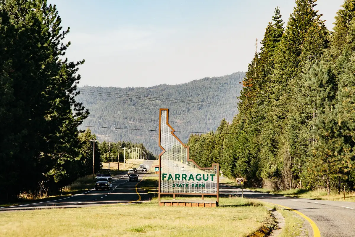
Before leaving home, consult the official park page for current fees, reservations, pet policies and alerts. For additional choices, start with our Idaho parks guide and compare Farragut State Park or Priest Lake State Park. Each has a different lake setting and access pattern, so choose around the trip you want rather than a generic “best park” label.
Questions before you go
What are the three lakes in Heyburn State Park?
The park identifies Chatcolet, Benewah and Hidden as its three lakes. The St. Joe River follows the park’s eastern edge.
Does the Trail of the Coeur d’Alenes go through Heyburn?
Yes. The paved Trail of the Coeur d’Alenes passes through the park. Use official maps to choose the access point and segment for your outing.