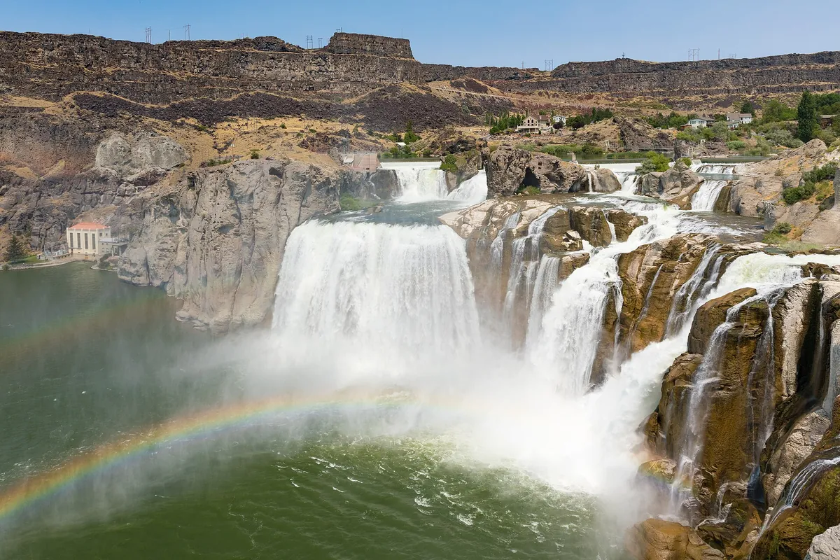
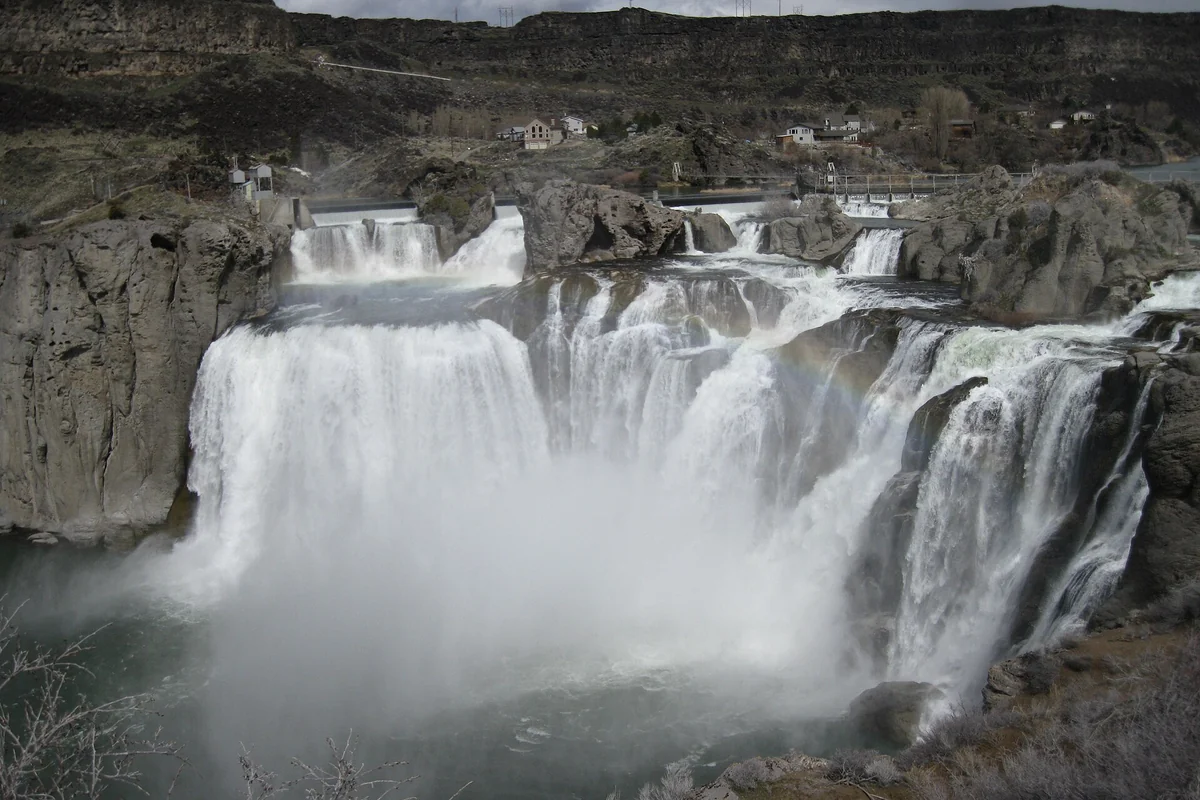
Shoshone Falls is a 212-foot waterfall on the Snake River near Twin Falls, Idaho, with public viewing platforms overlooking the canyon. Spring is generally the best time to see strong flow; snowpack, irrigation diversions, and upstream water management mean the waterfall can look dramatically different later in the year. Check current conditions before making a special trip.
The main attraction is a viewpoint visit, not a difficult hike to reach a waterfall. That makes Shoshone Falls a useful stop for travelers with different energy levels, although stairs and access routes vary between overlooks. Start with the falls, then use our Idaho things-to-do guides and Twin Falls town guide to build the rest of your day.
Shoshone Falls at a glance
- Location: Snake River Canyon near Twin Falls in south-central Idaho.
- Height: 212 feet, according to the National Park Service.
- Width: approximately 900 feet across the broad falls formation.
- Best general season: spring runoff, with late spring or early summer often providing dramatic views.
- Visit type: overlook platforms, picnic areas, and optional nearby walking.
- Management: Twin Falls Parks and Recreation, not a national park entrance station.
The National Park Service includes Shoshone Falls as an Oregon National Historic Trail site, but that listing does not make it a federally operated park. Use the City of Twin Falls visitor page for current local access information, fee details, and closures. Use the NPS Shoshone Falls page for the historic-trail connection and an overview of the viewing area.
When is the best time to visit Shoshone Falls?
Spring is the strongest general recommendation, but the calendar alone cannot guarantee a particular waterfall. The city explains that regional snowpack influences runoff, while irrigation diversions reduce the water reaching the falls during the growing season. Upstream reservoir operations also matter. A photograph from a high-water spring should not be treated as a forecast for your summer road trip.
Late spring and early summer can combine substantial flow with more comfortable conditions for walking around the viewpoints. If the falls are the main reason for your trip, check the official update close to departure and leave yourself some flexibility. A fixed reservation months ahead cannot secure a high-flow day.
Summer and fall expectations
Summer visitors can still enjoy the canyon and overlooks, but the waterfall may be much smaller than the famous full-width images suggest. Fall can bring very low flow, sometimes with portions appearing almost dry. That is not necessarily a temporary malfunction or evidence that you have arrived at the wrong overlook; it reflects the working river system as well as seasonal water supply.
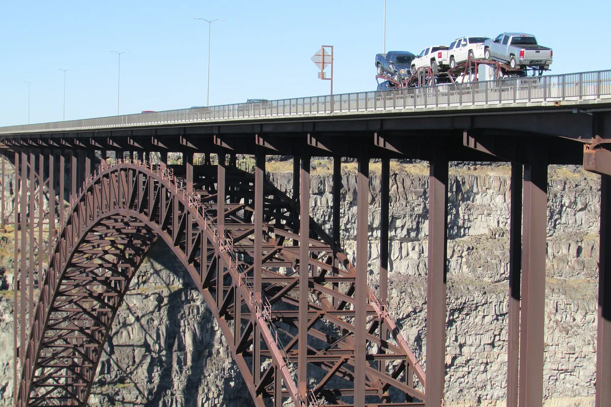
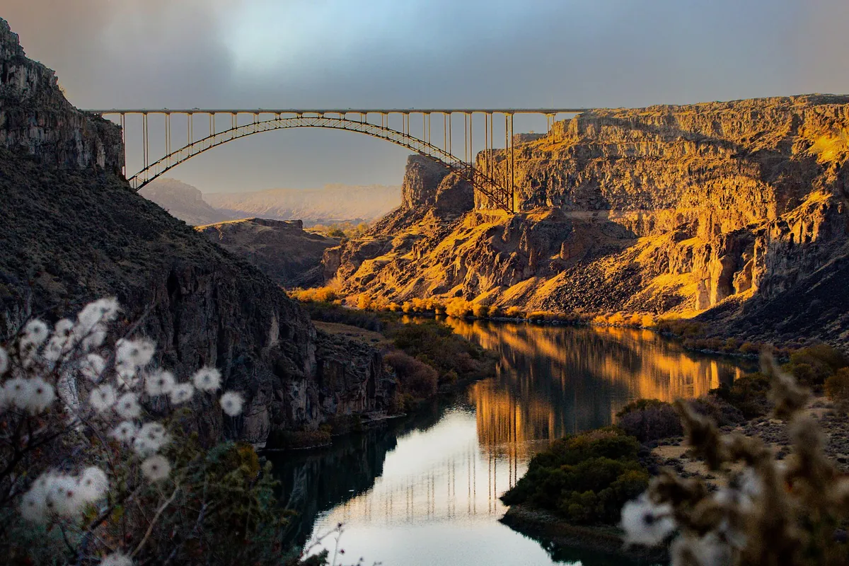
For a low-flow visit, make the canyon landscape the focus and add a separate stop at Perrine Bridge. If seeing powerful water is non-negotiable, reassess the trip after checking the city's latest information rather than assuming that all Idaho waterfalls share the same seasonal pattern.
Winter visits
The city describes Shoshone Falls as open year-round except for temporary closures caused by poor road conditions. Winter access therefore needs a same-day check. Ice on the grade or walking surfaces can change a straightforward sightseeing stop into an unsuitable outing. Do not pass a closure barrier or assume that an open road means every walkway is clear.
Getting to the falls and descending into the canyon
The city's visitor page gives 4155 Shoshone Falls Grade Road, Twin Falls, as the navigation destination. Use that official information rather than following a pin to an unmarked canyon edge. Regional tourism guidance describes the access as a winding road descending into the canyon. Slow down, leave space for opposing traffic, and pay attention to posted restrictions.
If you are driving an RV, towing, or traveling in a particularly large vehicle, ask the city about current access and parking suitability before committing to the descent. This is not a place to improvise a turn-around based on a satellite image. Winter travelers should also check Idaho 511 for conditions on the state highways used to reach Twin Falls.
Keep the drive and the sightseeing separate. The canyon views can be distracting, but stopping in the travel lane is not a substitute for a designated overlook. Once parked, take what you need for a short outdoor visit: water, sun protection, a layer for wind or spray, and shoes with useful traction.
What are the viewpoints like?
The National Park Service describes observation platforms above the falls, with the primary platform reached by descending about a dozen steps. It also notes that additional viewpoints are available for visitors with accessibility needs. The practical distinction is important: “the park has accessible viewing” does not mean that every platform uses a step-free route.
Travelers who need a particular surface, slope, or mobility-device route should contact the city before arriving and ask which overlook is appropriate. Do the same if temporary construction or winter conditions could affect access. Plan around the usable viewpoint rather than treating an inaccessible platform as the only valid place to see the waterfall.
Stay behind the barriers even when a rock ledge appears to offer a better picture. Mist, loose footing, and the exposed canyon edge are a poor combination. Keep children close at the viewpoints, secure loose belongings, and give other visitors space to look before setting up for a longer photography session.
How much time should you allow?
For planning, reserve a flexible block for the drive down, parking, and a relaxed look from the viewpoints. A short stop is possible, but a tightly timed roadside photo can be frustrating when the access road or parking area is busy. Add more time if your group wants a picnic or additional walking.
A half-day canyon outing can pair the falls with Perrine Bridge and a meal in Twin Falls. A fuller day could add another attraction, but avoid treating every canyon stop as interchangeable. Our Shoshone Falls and Niagara Falls comparison explains why the height comparison does not tell the whole story about scale.
Dierkes Lake and nearby canyon stops
Dierkes Lake is a separate recreation area near the falls approach, identified by the city as a place for swimming, fishing, picnicking, and walking. It can broaden the outing when members of your group want more than a waterfall overlook. Check current lake conditions and site information directly rather than assuming that a waterfall visit and a swim have identical access or safety considerations.
Do not confuse Dierkes Lake with the water directly below Shoshone Falls. This guide recommends the established falls viewpoints; it does not describe an approach to the base or a paddle route. River travel near waterfalls requires a different level of preparation and current, route-specific information.
If your itinerary continues west through the Magic Valley, compare the separate units in our Thousand Springs State Park guide. For a broader waterfall trip, our Idaho waterfalls guide helps distinguish roadside viewpoints from hikes. Do not add a distant stop simply because it also has “falls” in its name.
Mesa Falls is another major Idaho waterfall to research for a separate eastern Idaho itinerary, not a nearby add-on to Twin Falls. Compare the region and access requirements before choosing which waterfall belongs on your actual driving route.
A sensible Twin Falls itinerary
- Before leaving: check the city's flow and access information and the weather.
- First stop: visit Shoshone Falls while the group is fresh and willing to adjust plans.
- Next: choose either nearby recreation or a separate canyon viewpoint, not every option at once.
- Finish: return to Twin Falls for food and supplies before the next driving leg.
The best visit is one matched to the river you will actually see. Strong spring flow deserves time at the platforms; a dry-season stop can still be worthwhile for the basalt canyon, but it should not be sold to your companions as a guaranteed wall of water. That single expectation check prevents most disappointment.
Questions before you go
When does Shoshone Falls have the most water?
Spring runoff is generally the best period. Snowpack, irrigation diversions, and upstream operations affect the actual flow, so check current city information before traveling.
Do you have to hike to see Shoshone Falls?
No major hike is required for the established viewpoints. The primary platform has steps; the NPS also identifies alternative viewpoints for visitors with accessibility needs.
Is Shoshone Falls a national park?
No. The viewing park is managed by Twin Falls Parks and Recreation. The NPS lists the falls as a historic site associated with the Oregon National Historic Trail.